The 'Sea of Death' is the not so affectionate name that has been given by the Chinese people to the Taklamakan desert, a desert of such epic proportions and intimidating size, that its name in the local Uygur language translates as 'You can go in, but you will never come out'. As my car passes through the gate indicating my entrance to this treacherous land, I can only hope that my chances of exiting have been improved by the relatively new 500km of trans-desert highway that stretches endlessly before me from one side of the desert to the other.
After the great Sahara desert of northern Africa, the Taklamakan is the second biggest moving –sands desert in the world. The size of Germany, its immense proportions have often proved impenetrable to travelers and for many hundreds of years in Chinese history, this lifeless land was left alone to the hardy few who dared to venture in.
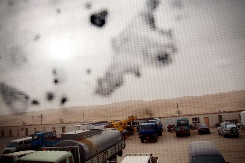
This was all to change in the late 1950's when China struck gold. Well, black gold to be exact. Lying hidden underneath the immense sea of sand of the Taklamakan, lies the Tarim Basin oilfield. Covering 560,000 square kilometers, it is China's fourth largest oilfield with a reserve of some 16 billion tonnes. In 2008, 20.3 million tonnes of oil and gas rattled their way out of the Taklamakan along the Tarim desert-highway. Built in 1995 to speed up the distribution of newly found oil and gas, it now serves to quench the increasing demands China has for its natural resources as the country's exponential growth continues.
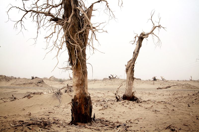
In an effort to quell the moving sands from swallowing the vital supply road, the whole highway has been lined with sand-fixing plants aimed at preventing the creep of the ever-moving Taklamakan. Whilst protecting the oil and gas route, natural resource related development has increased pressures on the land, threatening the level and quality of groundwater which only lies 3 to 5 metres below the base of the dunes.
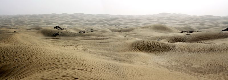
Apart from activity around the oilfields, the Taklamakan desert is a relatively lifeless place. Rolling waves of 100-metre high sand dunes stretch endlessly beyond the horizons in all directions and settlements inside the desert are virtually non-existent.
One exception is the tiny village of Yatongusi, which lies 10km off the desert-highway. Located around a small oasis, the village was founded by nomadic herders, fleeing conflicts with other local herders for grassland space some few hundred years ago. Truly sealed from the outside world by the natural defence of the desert, it was only opened to outsiders for the first time when the highway was built 14 years ago.
One of the village elders, recounted the story of first contact. "Builders drove trucks into this village. When we saw them, the people all hid. We had never seen trucks! We thought that they were monsters that would eat humans. The builders told us they were called 'trucks', but we had no idea what a truck was. So, the builders told us the truck was like a cow. Very strong. Very powerful. We tried to feed the truck with grass. The builders told us this 'cow' doesn't eat grass. We were all amazed by those great cows that didn't even eat grass."
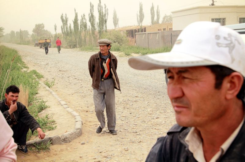
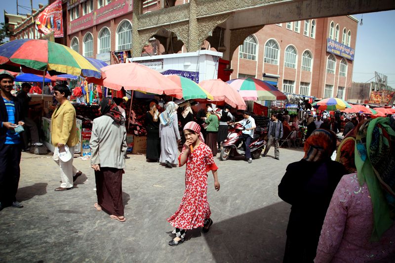
Today, the village has a relatively developed feel to it as modern influences have streamed in along the highway for the past decade and a half. The people of this village and those of the towns that skirt the edges of the Taklamakan, are mostly Uyghur, a Turkic ethnic group mainly found in Eastern and Central Asia, hence their appearance is not stereotypically 'Chinese'.
It is around the Taklamakan that you are reminded of the rich cultural diversity that actually exists in the west of the country. In towns such as Hetian, which lies on the south-west fringes of the desert, only 500km from the border with Pakistan, mosques line the streets, noisy bazaars beckon passers-by and colourfully dressed people of Islamic faith mill the streets. It is easy to mistakenly believe you have been transported to a town somewhere in the Middle East, however glimpses of Chinese characters on road signs and the occasional Han Chinese person passing by, remind you that you are still are well within the grasp of the People's Republic.
As my jeep rattles past the last water station on my journey across this mighty desert, I can only feel that the people of the Taklamakan are historically the most acutely aware of the power of moving and growing sands. As desertification becomes increasingly a national issue, the country may only need to look west to begin its search for effective ways to adapt to life in and around the moving sands.
