Story

Lines and Lineage

Image courtesy Tomas van Houtryve/Harper's. 2018.

Image courtesy Tomas van Houtryve/Harper's. 2018.

Anastacio Bonnie Sanchez, San Luis, Colorado. Image by Tomas Van Houtryve. Colorado, 2018

Anastacio Bonnie Sanchez, San Luis, Colorado. Image by Tomas Van Houtryve. Colorado, 2018

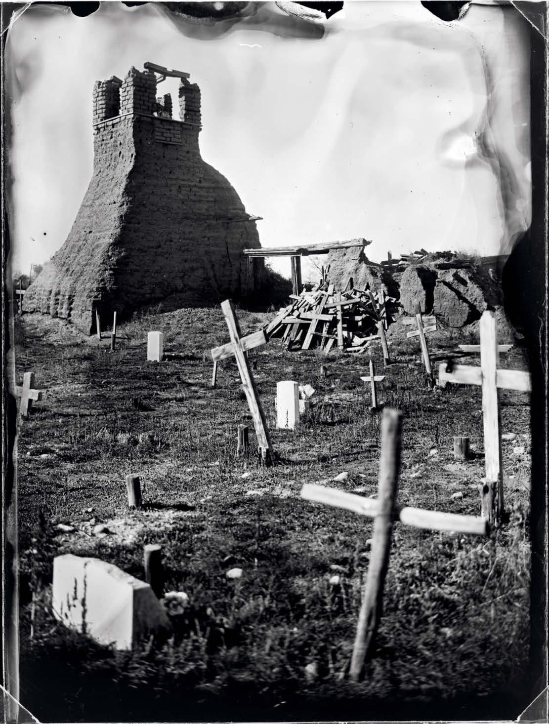
Ruins of San Geronimo Church, Taos, New Mexico. US troops attacked the church in 1847, killing 150 Hispanic and indigenous people seeking refuge inside. Image by Tomas Van Houtryve. New Mexico, 2018.

Ruins of San Geronimo Church, Taos, New Mexico. US troops attacked the church in 1847, killing 150 Hispanic and indigenous people seeking refuge inside. Image by Tomas Van Houtryve. New Mexico, 2018.

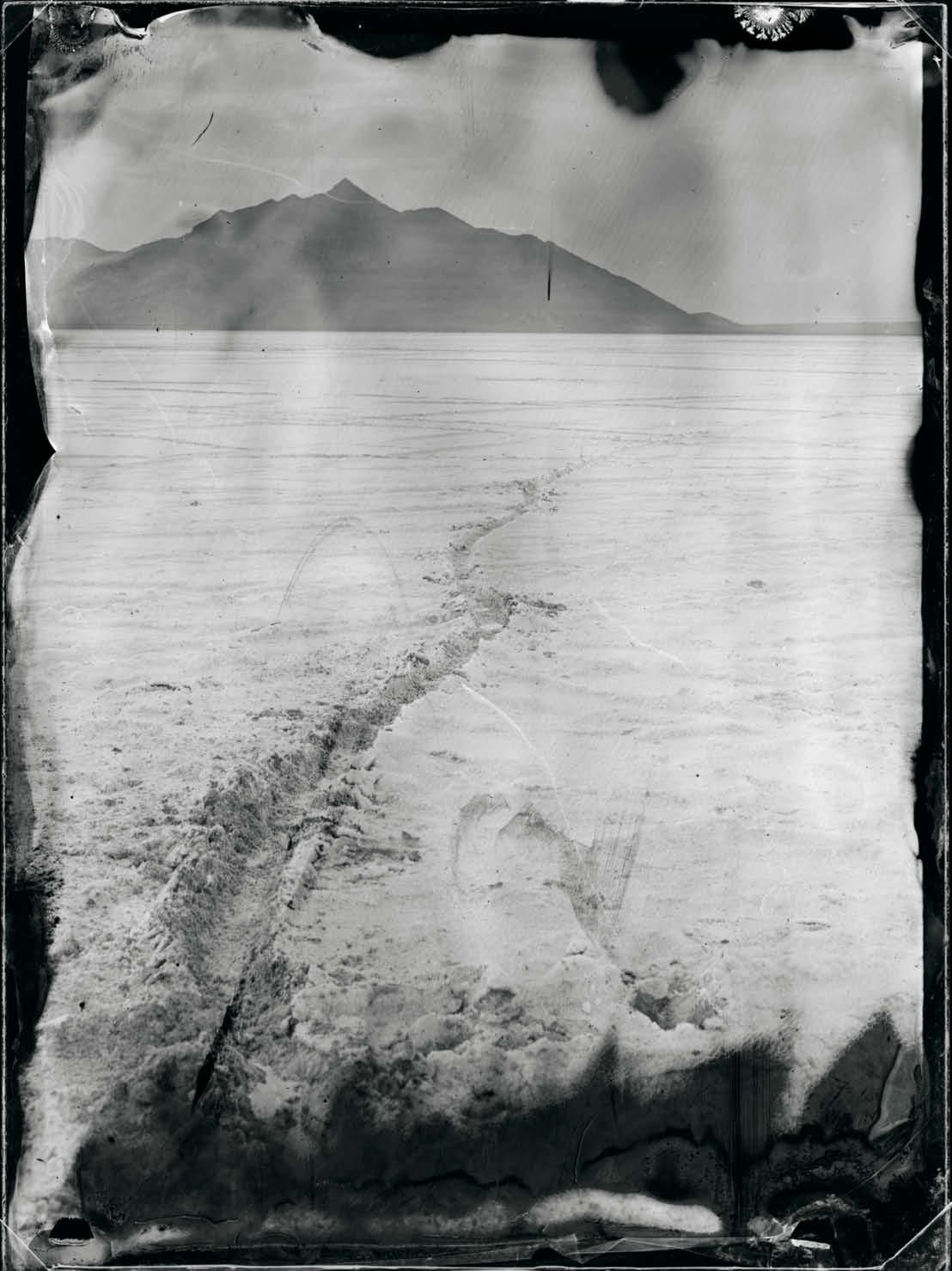
Bonneville Salt Flats, Utah. Near the early-nineteenth-century border between Alta California and Orgon Country, which was jointly claimed by the United States and Great Britain. Image by Tomas Van Houtryve. Utah, 2018.

Bonneville Salt Flats, Utah. Near the early-nineteenth-century border between Alta California and Orgon Country, which was jointly claimed by the United States and Great Britain. Image by Tomas Van Houtryve. Utah, 2018.

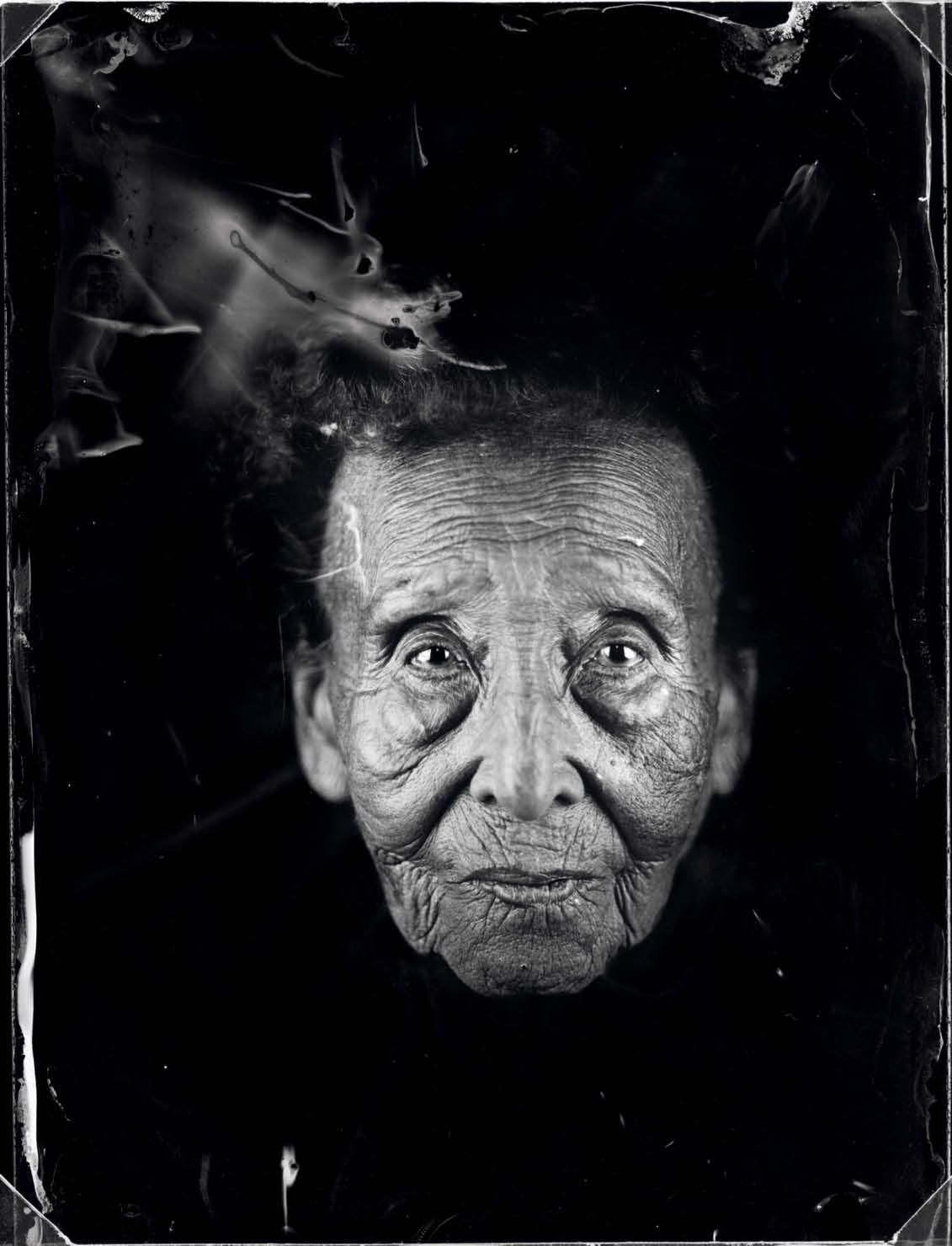
Anna Maria Gallegos de Houser, Santa Fe, New Mexico. She was born in 1912, the year New Mexico became a US state. Image by Tomas Van Houtryve. New Mexico, 2018.

Anna Maria Gallegos de Houser, Santa Fe, New Mexico. She was born in 1912, the year New Mexico became a US state. Image by Tomas Van Houtryve. New Mexico, 2018.

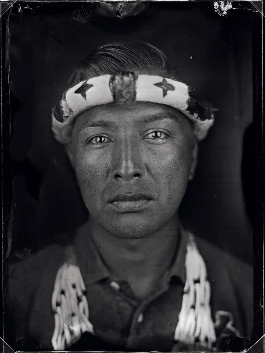
Ralph Peters III of the Hupa tribe in Hoopa Valley, California. After the United States took control of Alta California in 1846, extermination campaigns reduced the indigenous population from 150,000 to 30,000 in less than thirty years. The US government recognized Hupa sovereignty over their land in 1864. Many still live there today. Image by Tomas Van Houtryve. California, 2018.

Ralph Peters III of the Hupa tribe in Hoopa Valley, California. After the United States took control of Alta California in 1846, extermination campaigns reduced the indigenous population from 150,000 to 30,000 in less than thirty years. The US government recognized Hupa sovereignty over their land in 1864. Many still live there today. Image by Tomas Van Houtryve. California, 2018.

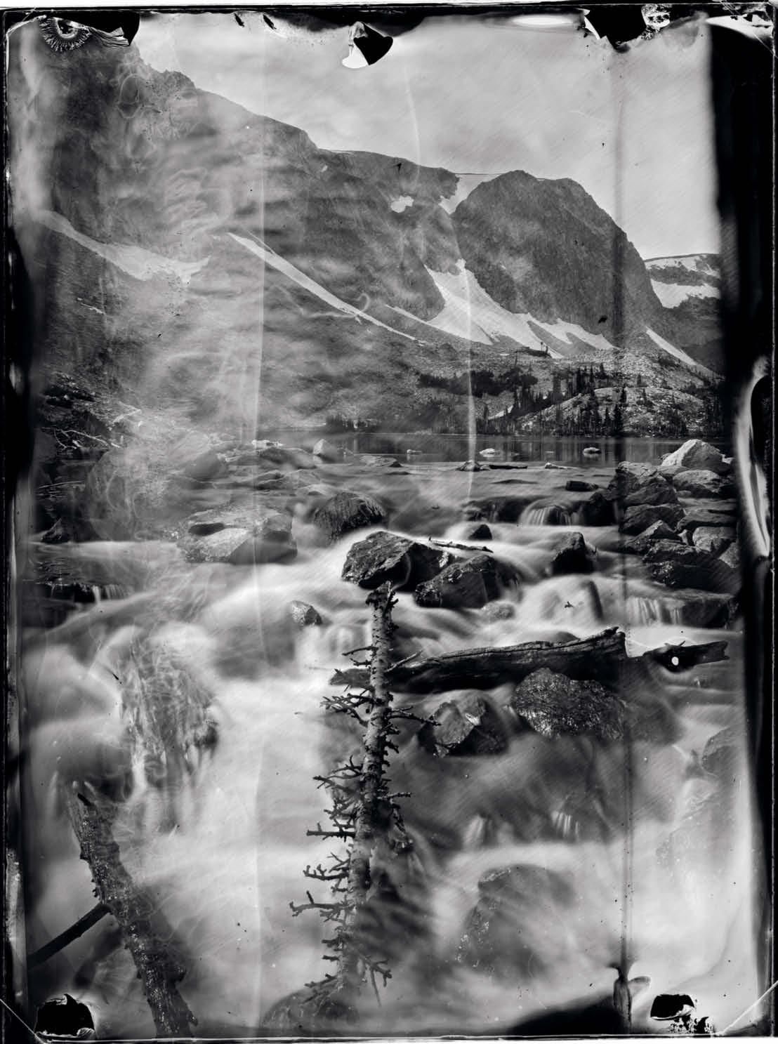
Medicine Bow Peak and Lake Marie, Wyoming. Near the early-nineteenth-century border between Atla California, Mexico, and unorganized territory of the United States. Image by Tomas Van Houtryve. Wyoming, 2018.

Medicine Bow Peak and Lake Marie, Wyoming. Near the early-nineteenth-century border between Atla California, Mexico, and unorganized territory of the United States. Image by Tomas Van Houtryve. Wyoming, 2018.

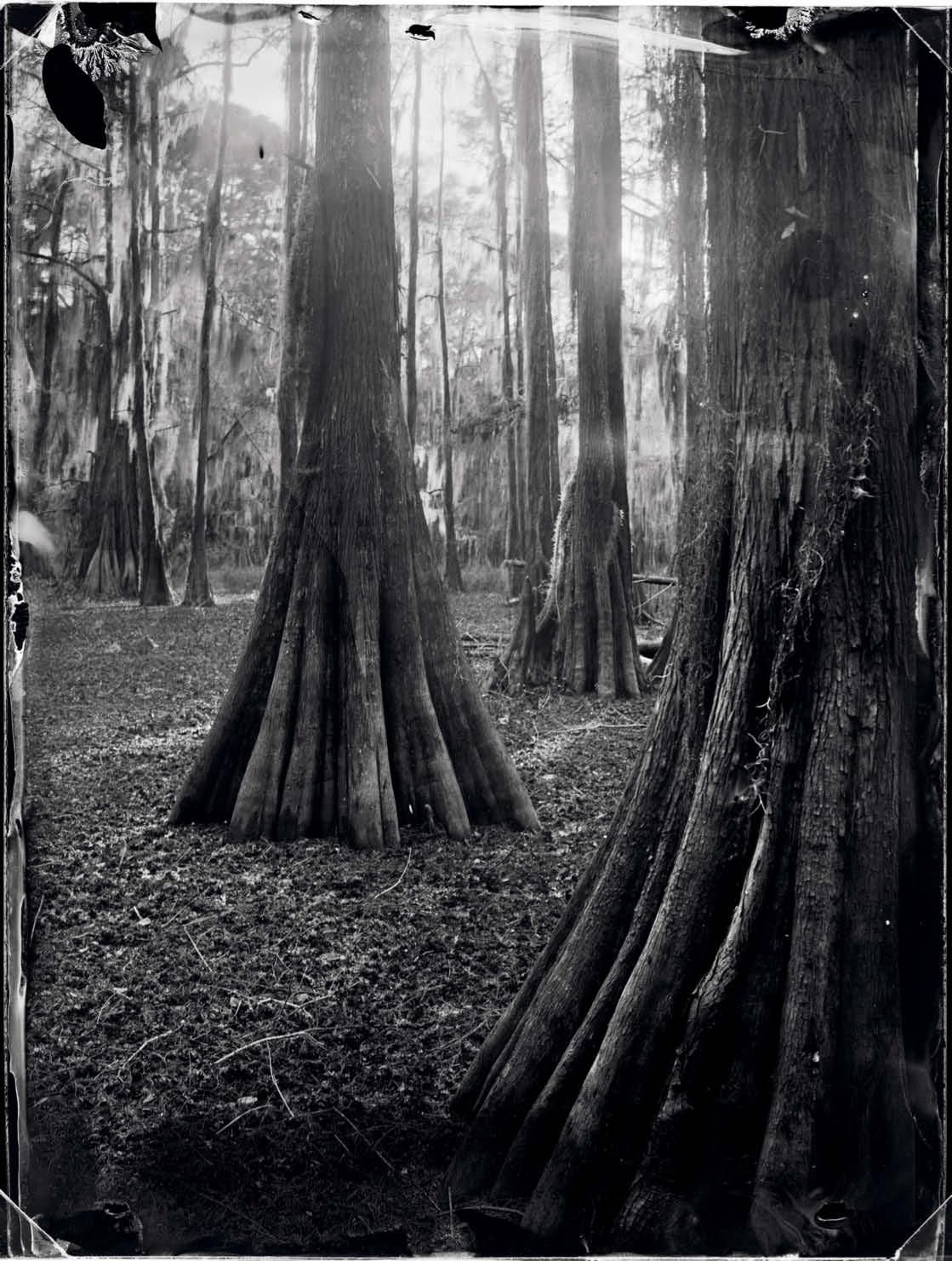
Cypress trees, Carter Lake, Texas. Near the early-nineteenth-centuryborder between Texas, Mexico, and Louisiana, United States. Image by Tomas Van Houtryve. Texas, 2018.

Cypress trees, Carter Lake, Texas. Near the early-nineteenth-centuryborder between Texas, Mexico, and Louisiana, United States. Image by Tomas Van Houtryve. Texas, 2018.

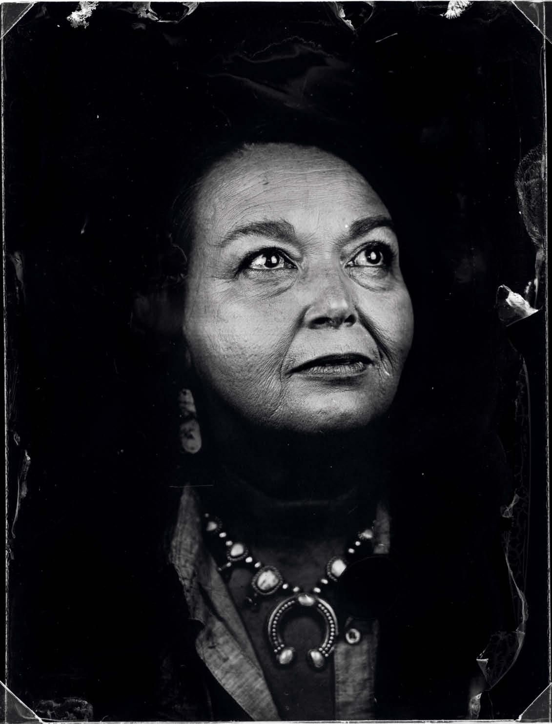
Bernadette Therese Oritz Peña, Santa Fe, New Mexico. Image by Tomas Van Houtryve. New Mexico, 2018.

Bernadette Therese Oritz Peña, Santa Fe, New Mexico. Image by Tomas Van Houtryve. New Mexico, 2018. 

Patrick Garcia, Sonoma. He is a descendant of Mariano Guadalupe Vallejo, a Mexican general who was taken hostage at the start of the Bear Flag Revolt. Image by Tomas Van Houtryve. Sonoma, 2018.

Patrick Garcia, Sonoma. He is a descendant of Mariano Guadalupe Vallejo, a Mexican general who was taken hostage at the start of the Bear Flag Revolt. Image by Tomas Van Houtryve. Sonoma, 2018.

East River, Colorado. Near the early-nineteenth-century border between Santa Fe de Nuevo México and unorganized territory of the United States. Image by Tomas Van Houtryve. Colorado, 2018.

East River, Colorado. Near the early-nineteenth-century border between Santa Fe de Nuevo México and unorganized territory of the United States. Image by Tomas Van Houtryve. Colorado, 2018.

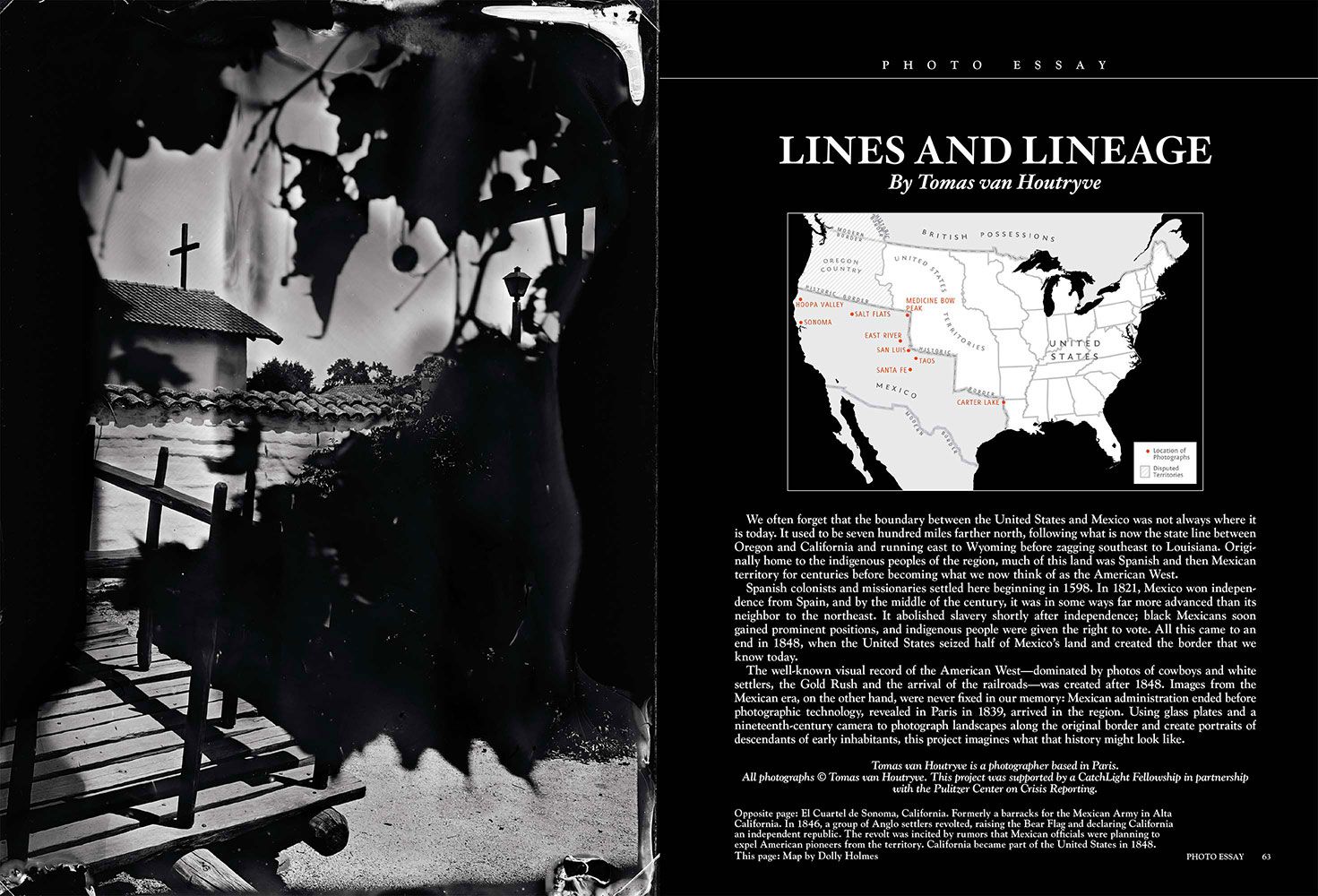
We often forget that the boundary between the United States and Mexico was not always where it is today. It used to be seven hundred miles farther north, following what is now the state line between Oregon and California and running east to Wyoming before zagging southeast to Louisiana. Originally home to the indigenous peoples of the region, much of this land was Spanish and then Mexican territory for centuries before becoming what we now think of as the American West.

Spanish colonists and missionaries settled here beginning in 1598. In 1821, Mexico won independence from Spain, and by the middle of the century, it was in some ways far more advanced than its neighbor to the northeast. It abolished slavery shortly after independence; black Mexicans soon gained prominent positions, and indigenous people were given the right to vote. All this came to an end in 1848, when the United States seized half of Mexico’s land and created the border that we know today.

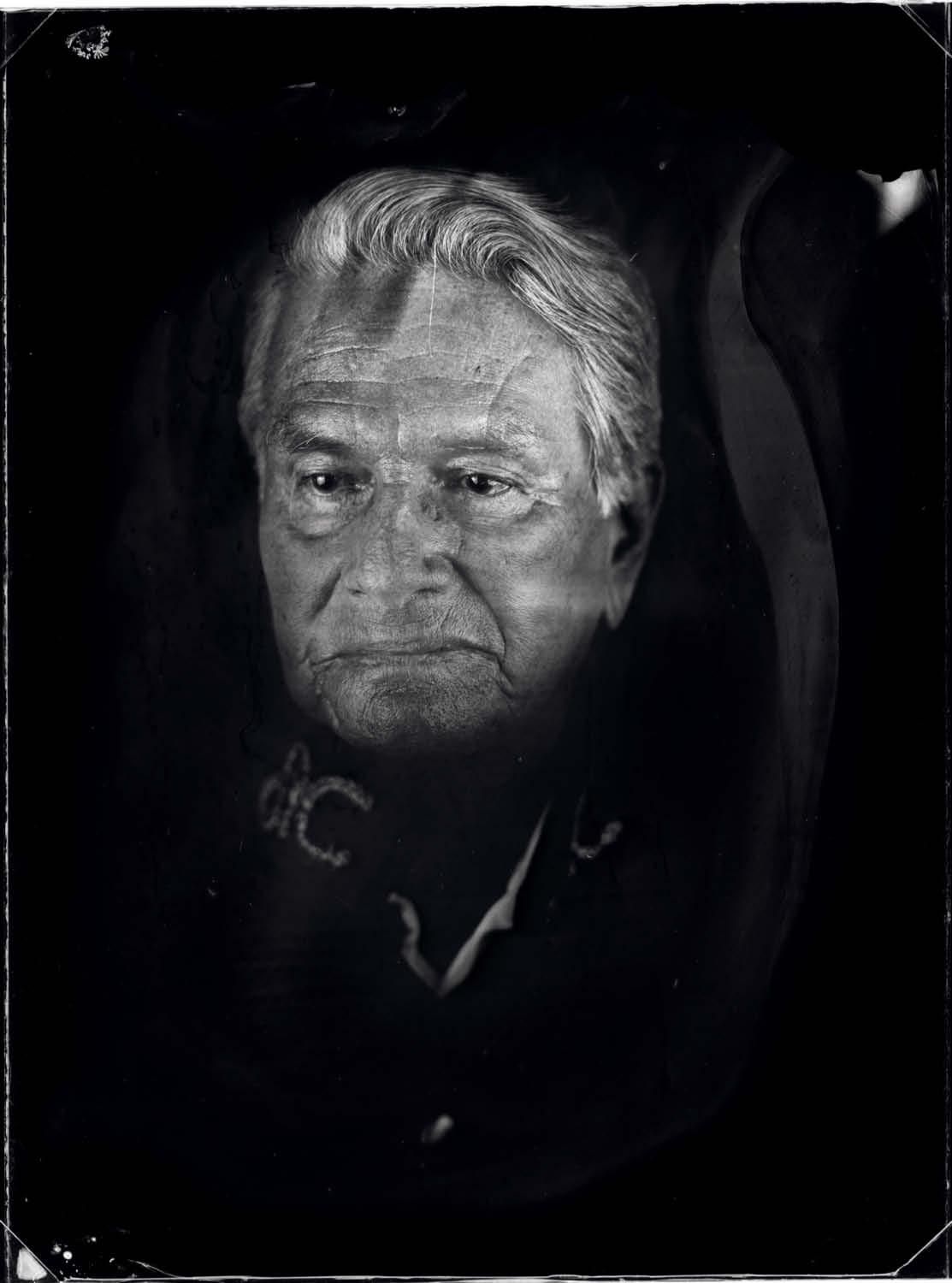
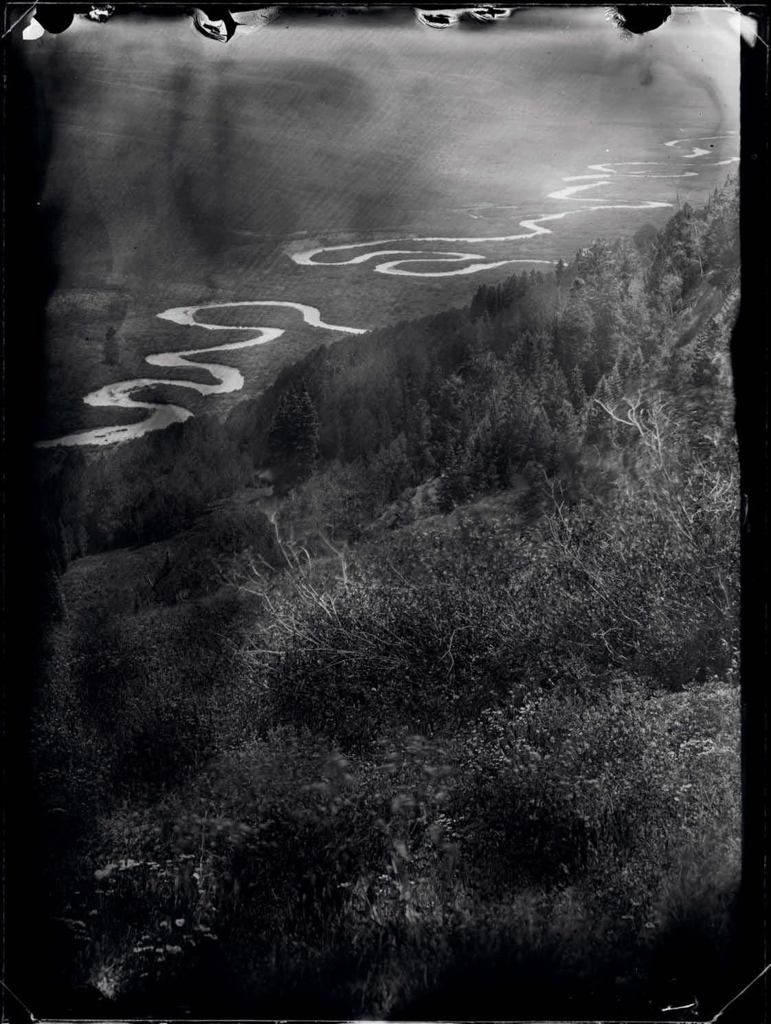
The well-known visual record of the American West — dominated by photos of cowboys and white settlers, the Gold Rush and the arrival of the railroads — was created after 1848. Images from the Mexican era, on the other hand, were never fixed in our memory: Mexican administration ended before photographic technology, revealed in Paris in 1839, arrived in the region. Using glass plates and a nineteenth-century camera to photograph landscapes along the original border and create portraits of descendants of early inhabitants, this project imagines what that history might look like.

The full story is available for purchase on harpers.org.