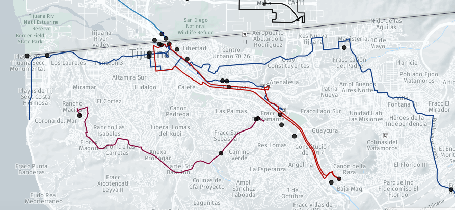
Click here to access the interactive map
This interactive map plots several of the photos featured elsewhere in this project, as well as sites along Tijuana’s sprawling transit network. Unlike transportation planning in most other cities, here it is an international enterprise. In both Tijuana and San Diego, recent years have seen massive investment in new pedestrian crossings and other infrastructure meant to speed traffic through local border crossings.
The new Bus Rapid Transit line fits this trend: Its northernmost station lets passengers off at the San Ysidro Port of Entry. On the map, it almost touches the southern end of the UC-San Diego Blue Line trolley, which whisks riders north for work and shopping. But many Tijuana residents lack U.S. visas. For them, improving the bus and taxi lines that snake through Tijuana’s neighborhoods could make a big difference.