Story

Traveling the Length of the Blue Nile: A Six-Week Expedition for National Geographic

Fishermen on Ethiopia's Lake Tana in the northwestern city of Bahir Dar. The Blue Nile originates from the southeastern side of the lake. Image by Jonathan Rashad. Ethiopia, 2015.

Papyrus boats by Lake Tana. Image by Jonathan Rashad. Ethiopia, 2015.

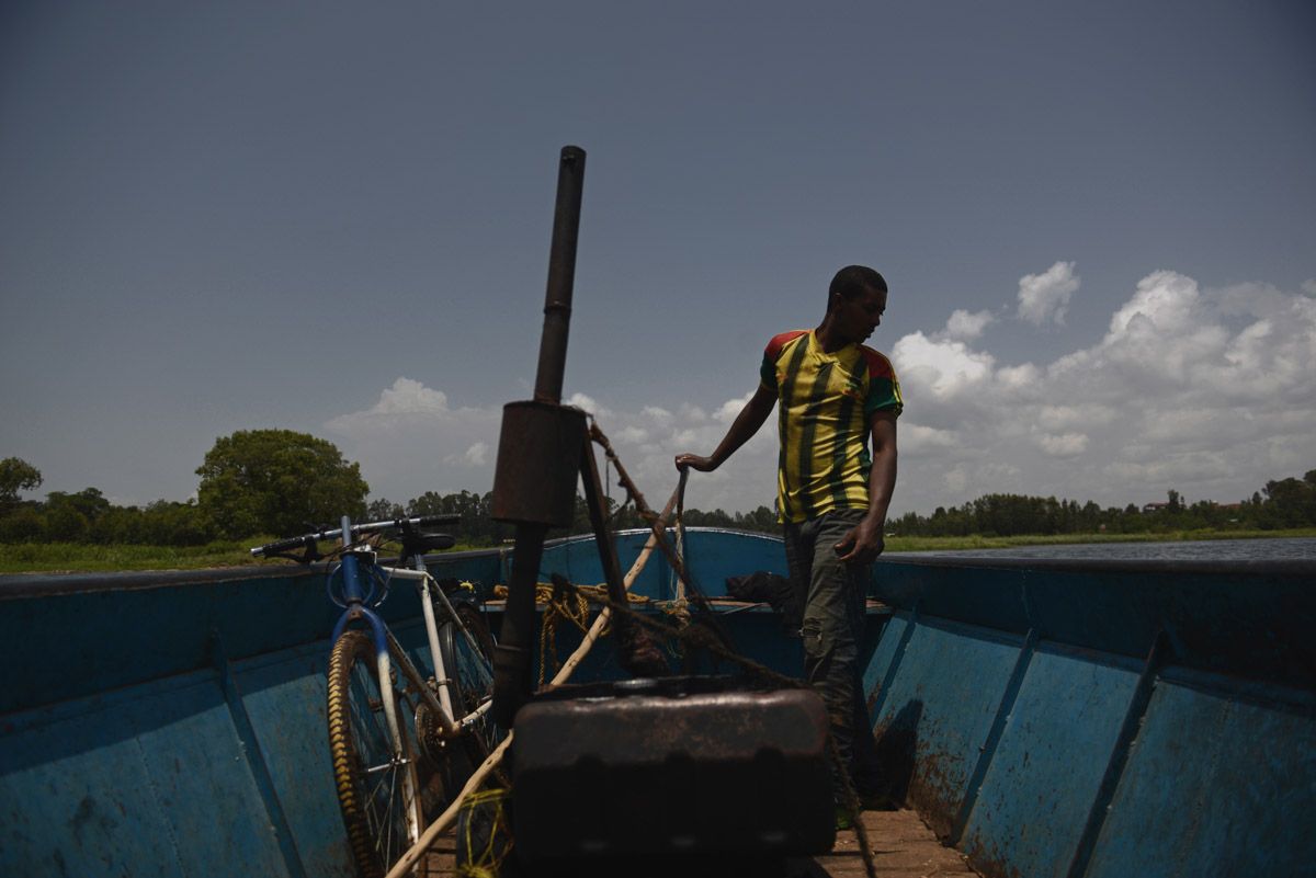
Ethiopian workers cruise on a boat on Lake Tana. The Blue Nile originates from the southeastern side of the lake and empties into the Mediterranean Sea in Egypt. Image by Jonathan Rashad. Ethiopia, 2015.

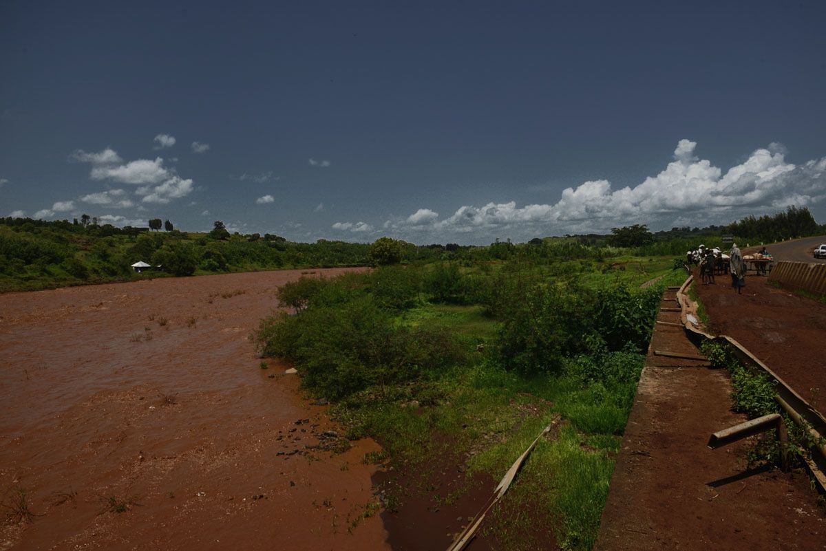
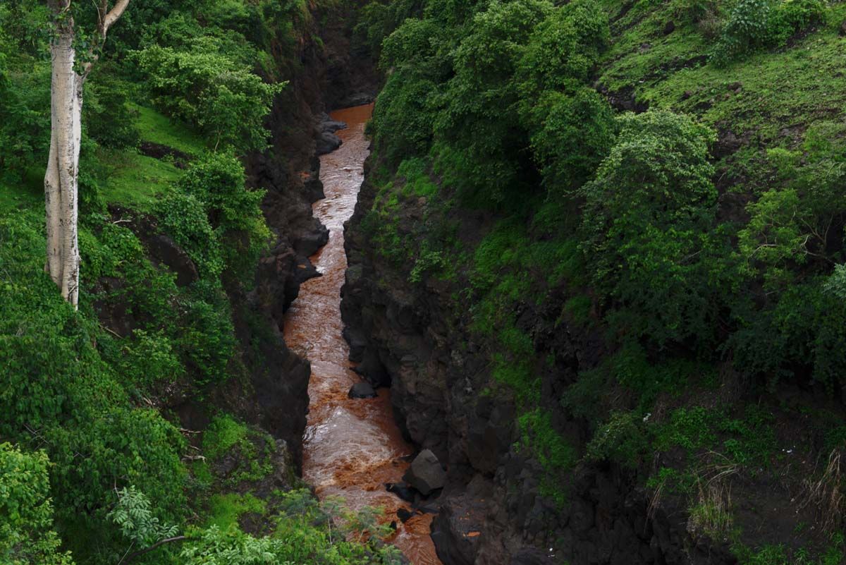
The Blue Nile in the Ethiopian region of Amhara, southeast of Lake Tana. As the rain dumps tons of eroded soil from the surrounding landscape, the waterway turns to muddy brown during the rainy season. Image by Jonathan Rashad. Ethiopia, 2015.

The Blue Nile in the Ethiopian region of Amhara, southeast of Lake Tana. As the rain dumps tons of eroded soil from the surrounding landscape, the waterway turns to muddy brown during the rainy season. Image by Jonathan Rashad. Ethiopia, 2015.

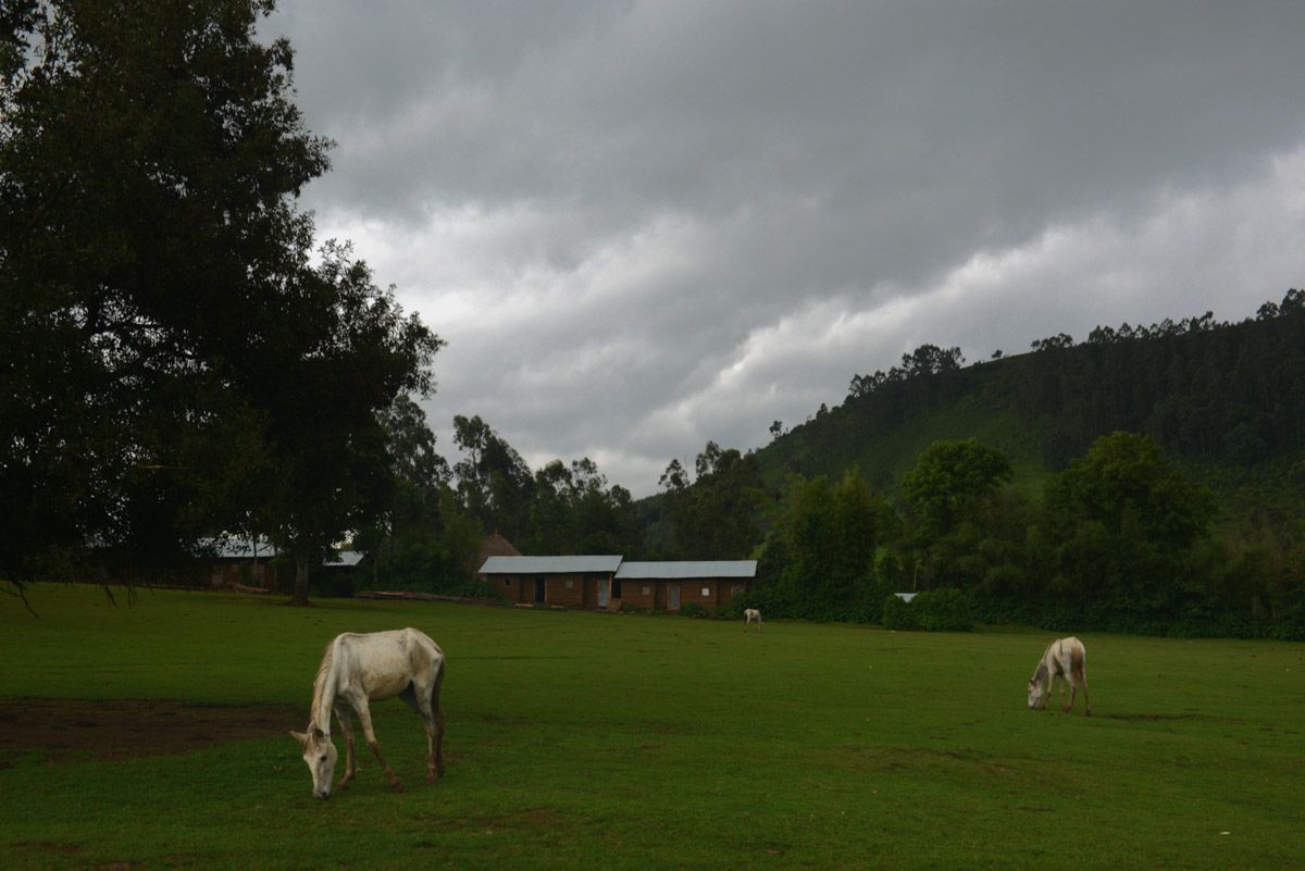
A farmland, 100 km southeast of Lake Tana in Ethiopia. The Blue Nile originates from the southeastern side of the lake and empties into the Mediterranean Sea in Egypt. Image by Jonathan Rashad. Ethiopia, 2015.

A young farmer outside his house, 100 km southeast of Lake Tana in Ethiopia. The Blue Nile originates from the southeastern side of the lake and empties into the Mediterranean Sea in Egypt. Image by Jonathan Rashad. Ethiopia, 2015.

A farmer near the Blue Nile Falls in Ethiopia. Image by Jonathan Rashad. Ethiopia, 2015.

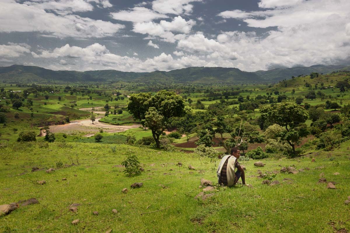
An Ethiopian farmer works on a hill overlooking a gorge near the Blue Nile Falls. Image by Jonathan Rashad. Ethiopia, 2015.

A gorge near the Blue Nile Falls in Ethiopia. Image by Jonathan Rashad. Ethiopia, 2015.

An Ethiopian fisherman sails by the exit of the Blue Nile from Lake Tana. Image by Jonathan Rashad. Ethiopia, 2015.

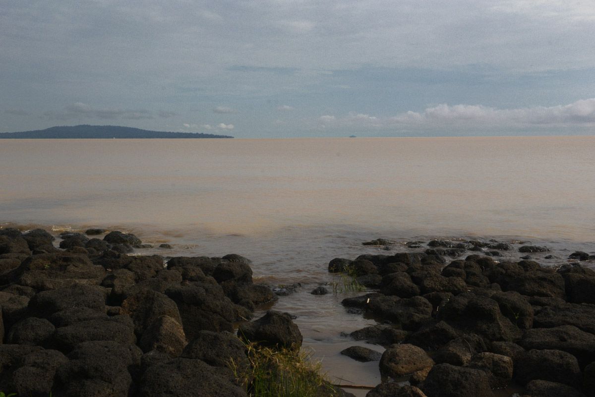
The exit of the Blue Nile from Lake Tana. The color of the waterway changes dramatically when the exit is passed, as it turns to muddy brown during the rainy season because of soil erosion. At this intersection, if a floating object is thrown into the water, it floats towards the lake if thrown to the right or floats towards the exit of the river if thrown to the left—or vice versa if thrown from the opposite bank of the intersection. Image by Jonathan Rashad. Ethiopia, 2015.

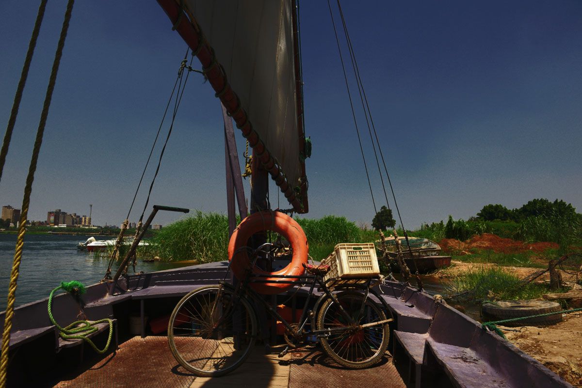
The Nile in Cairo. Image by Jonathan Rashad. Egypt, 2015.

Garbage thrown by a Nile-connected canal in the Giza governorate of Egypt. As the Nile pollution grows, it highly affects agriculture and drinking water across the country. Image by Jonathan Rashad. Egypt, 2015.

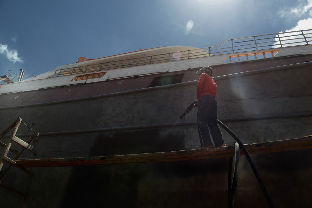
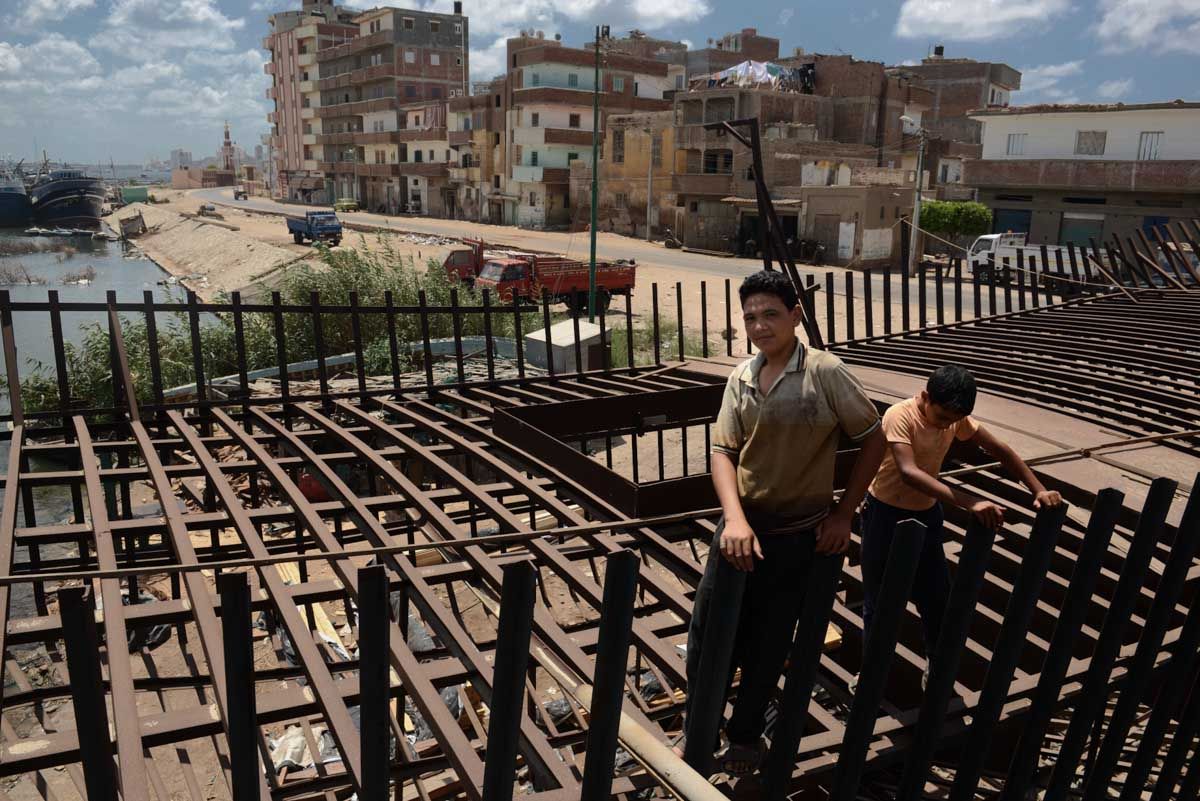
An Egyptian worker cleans a fishing trawler under construction in the Nile Delta city of Rosetta. Image by Jonathan Rashad. Egypt, 2015.

Egyptian children play on a fishing trawler under construction in the Nile Delta city of Rosetta. Image by Jonathan Rashad. Egypt, 2015.

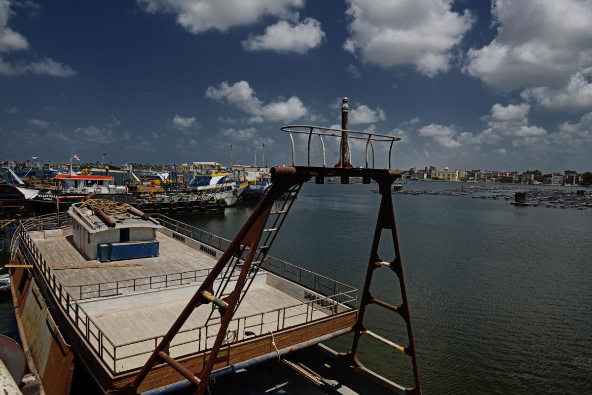
The Nile river at the Nile Delta city of Rosetta. Image by Jonathan Rashad. Egypt, 2015.

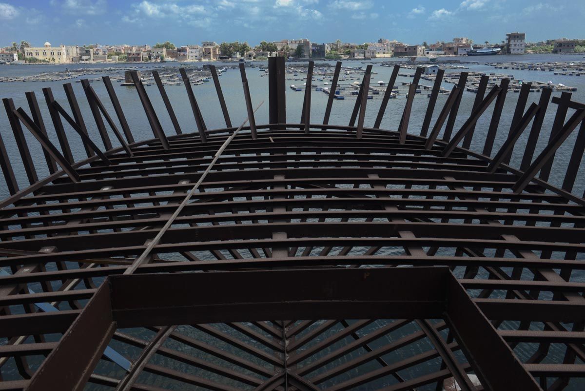
A fishing trawler under construction in the Nile Delta city of Rosetta. Image by Jonathan Rashad. Egypt, 2015.

A fishing trawler under construction in the Nile Delta city of Rosetta. Image by Jonathan Rashad. Egypt, 2015.

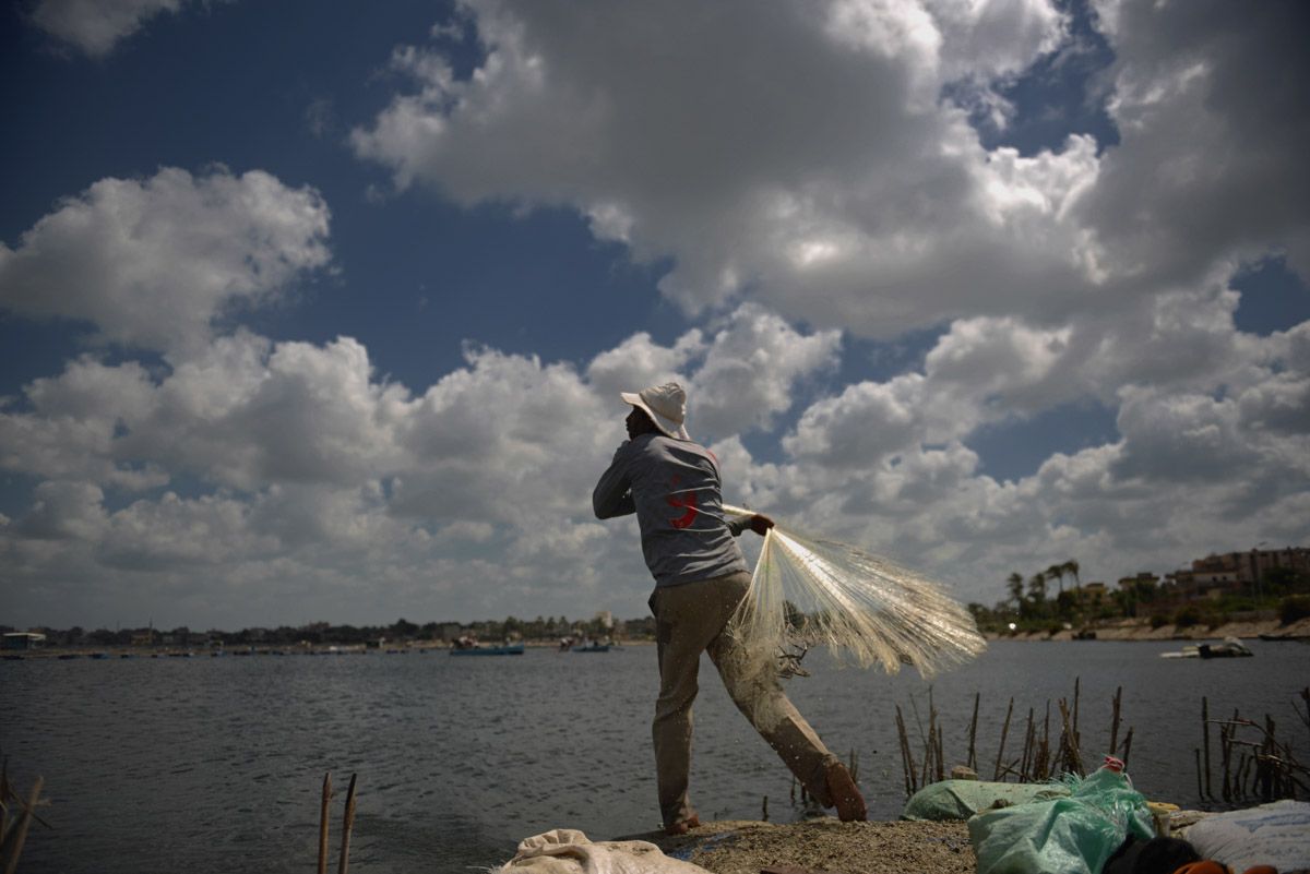
An Egyptian fisherman at the Nile Delta city of Rosetta. Image by Jonathan Rashad. Egypt, 2015.

Seeking to build a comprehensive image about the health of one of the world's greatest waterways, Peter Schwartzstein, Leyland Cecco, and Jonathan Rashad traveled from Ethiopia's Lake Tana, the White Nile in Sudan, all the way to the Nile Delta in Egypt, where the Nile empties into the Mediterranean Sea.