Story

The Blue Nile: A River in Crisis

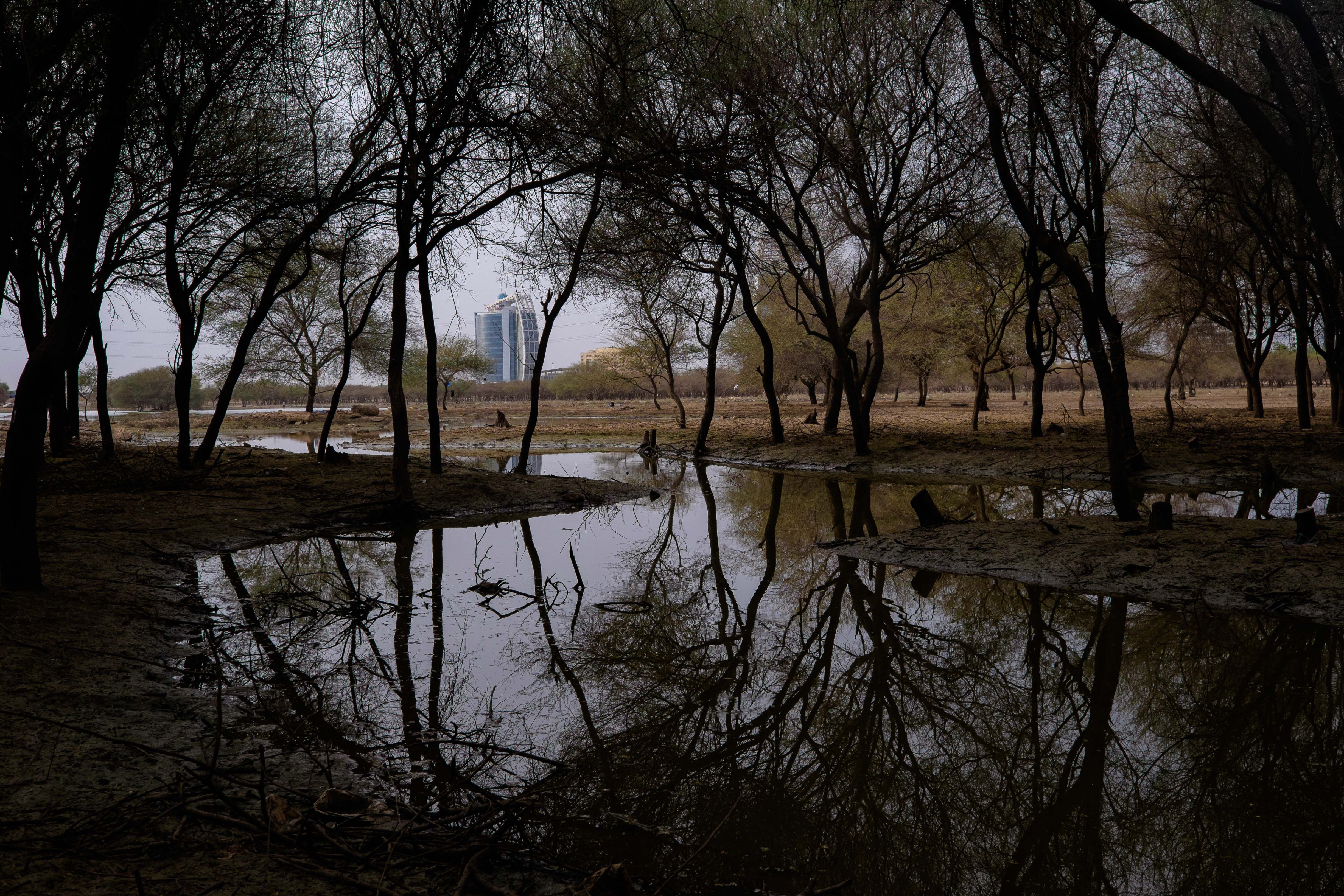
Khartoum's Sunt Forest, a tract of green space in the capital, is being developed for commercial purposes. The Sunt Project (named for the trees that were cut down) has already taken up 30 percent of the forest land. Image by Leyland Cecco. Sudan, 2015.

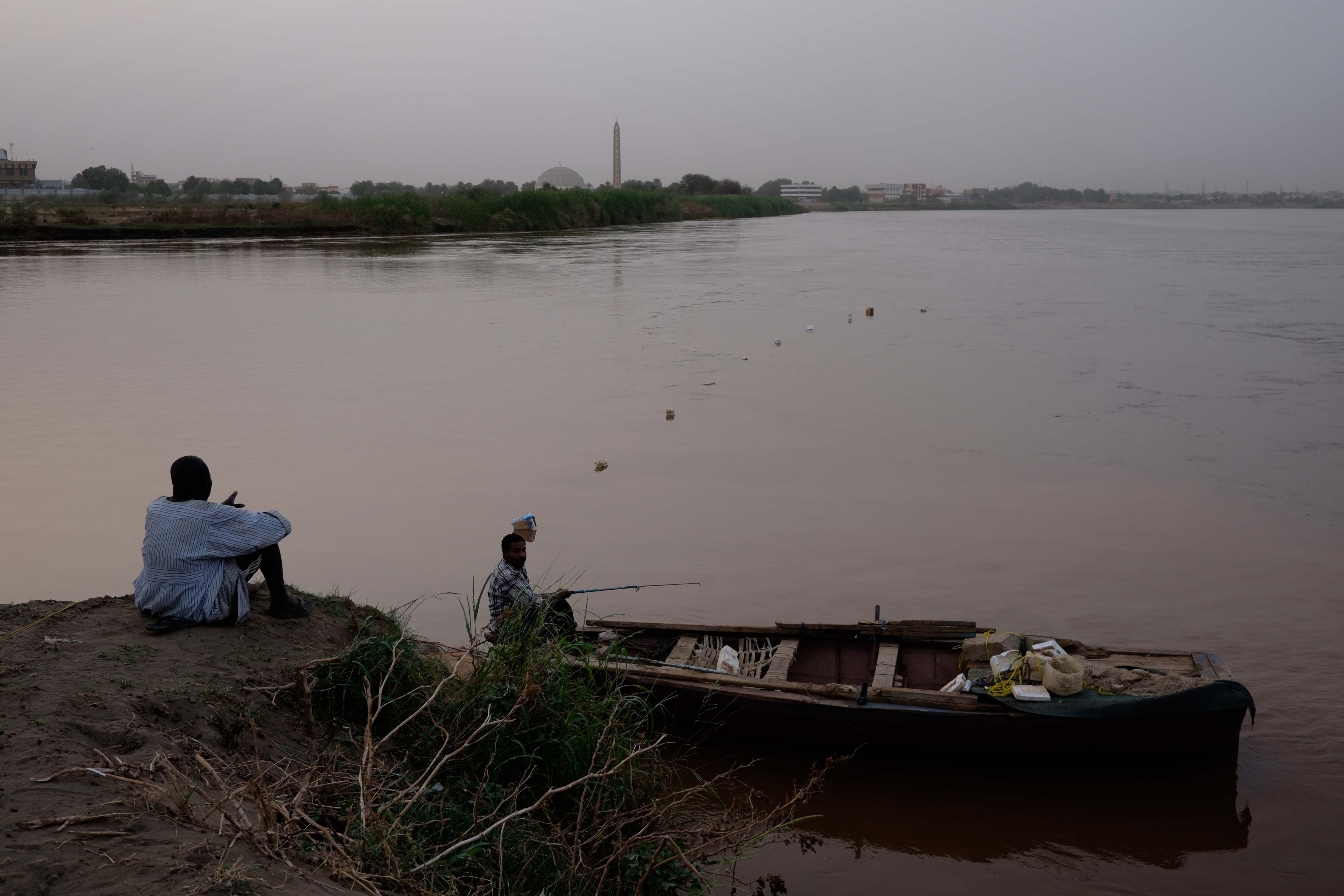
Fishermen at the confluence of the Blue (right) and White (left) Nile rivers in Khartoum, Sudan. During the rainy season in Ethiopia, the washing into the river causes the river to turn brown, well into Sudan. Image by Leyland Cecco. Sudan, 2015.

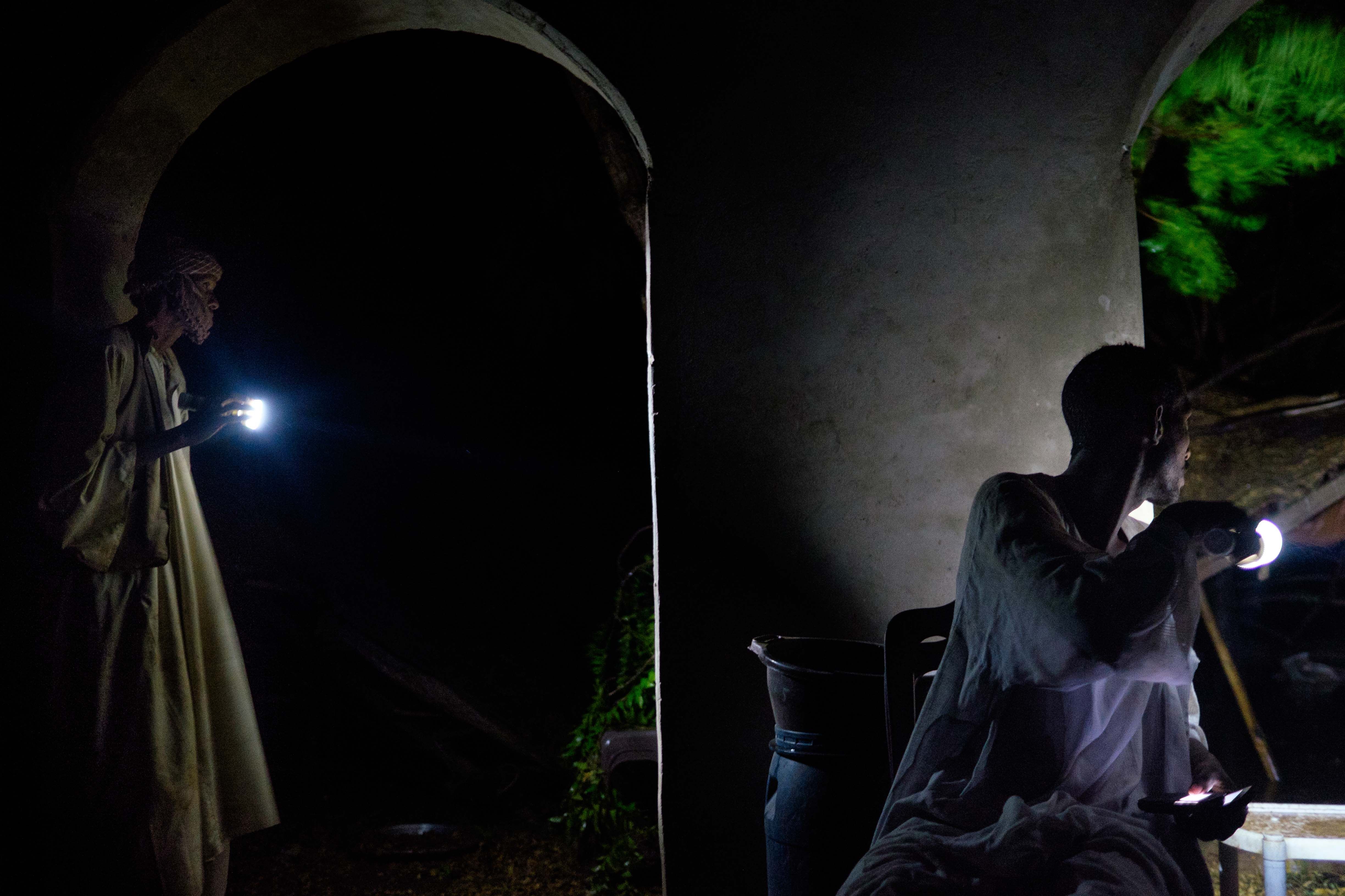
Members of the Manasir tribe survey the damage to a rest stop after a heavy storm. The group was relocated by the government during the construction of the Meroe dam. Image by Leyland Cecco. Sudan, 2015.

Onlookers watch as police and military mend a washed-out bridge during heavy rain, near the northern city of Atbara. At least two people were reportedly killed when flash flooding wiped out sections of the road. Image by Leyland Cecco. Sudan, 2015.

Awad Hawran, a farmer in the town of Karima, sets up irrigation channels during the rainy season to take advantage of the overflowing river. Image by Leyland Cecco. Sudan, 2015.

Dongola is a prosperous hub of Sudan's Northern State. The town's colors reflect its rich agricultural production. Image by Leyland Cecco. Sudan, 2015.

Children play in the Nile river as it passes through the Sudanese town of Dongola. During the rainy season, the river turns brown, rich with alluvial silt. Image by Leyland Cecco. Sudan, 2015.

Activists Salah AbdelRahman (middle) and Nazar Youssef Saboona (left), on the way to Sai Island. The island will disappear if Dal and Kagbar are dammed. Image by Leyland Cecco. Sudan, 2015.

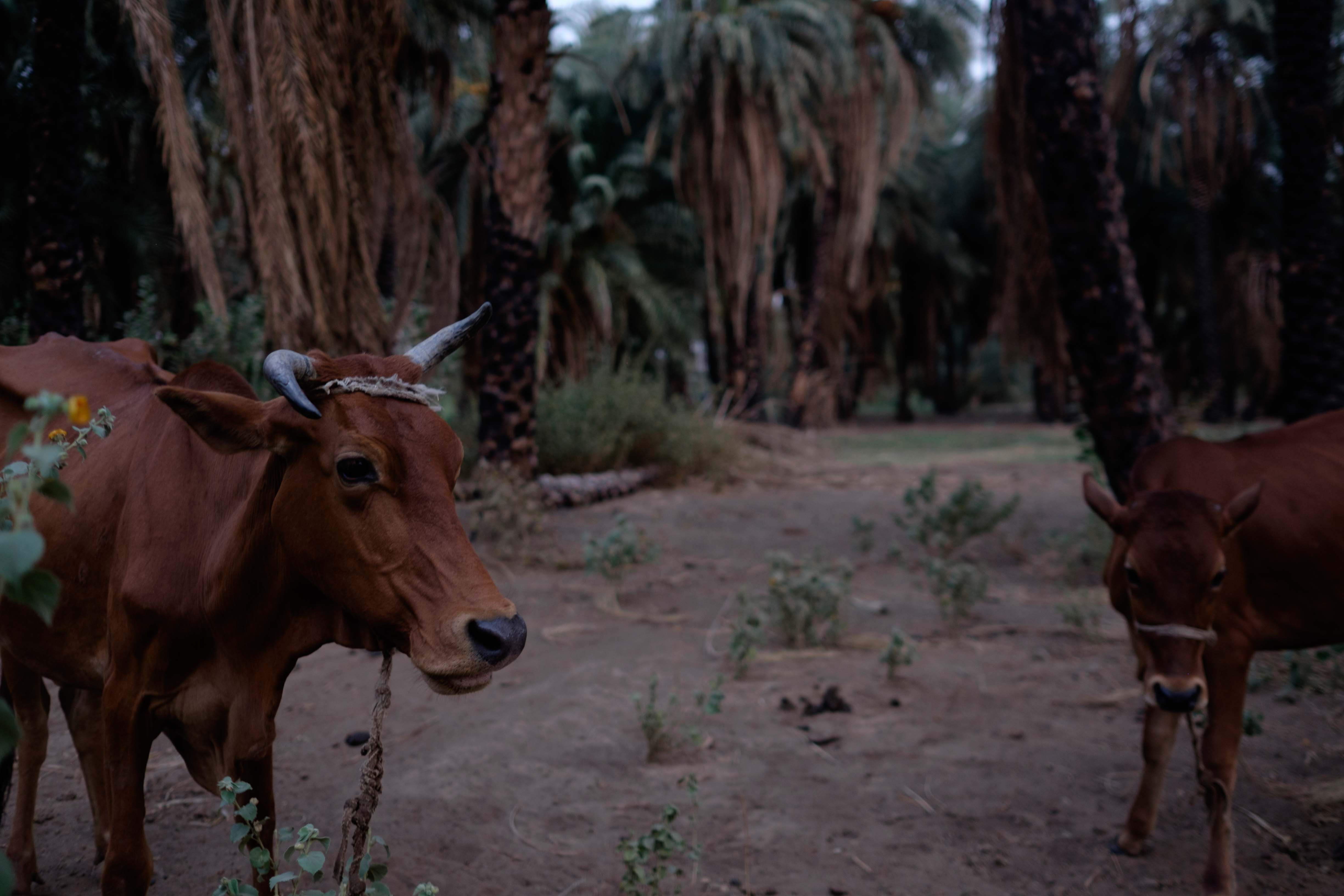
Cattle graze among burnt groves. Local activists blame the government for burning palm trees in order to force residents to move away from the area, down river from the site of a planned dam. Image by Leyland Cecco. Sudan, 2015.

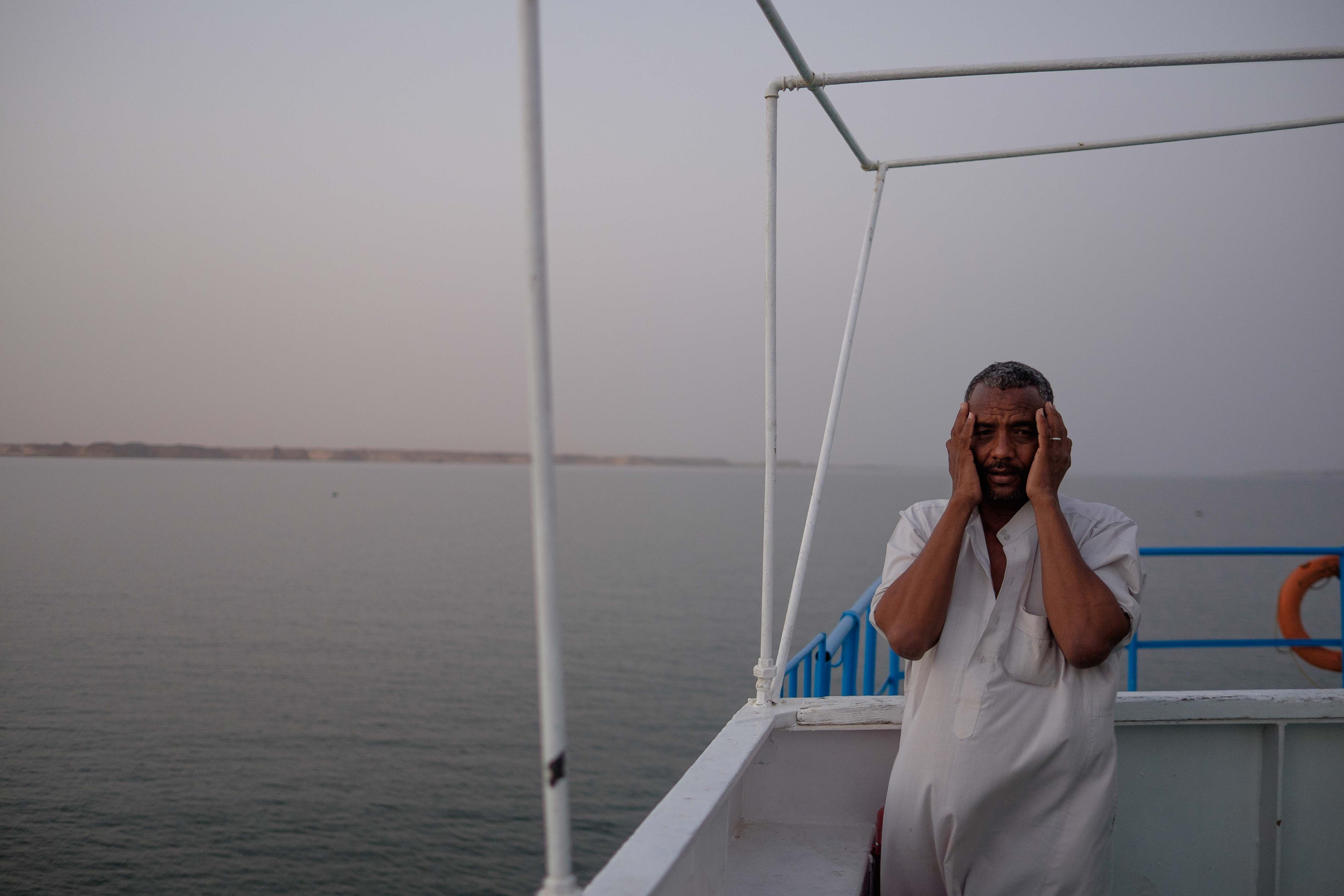
As the sun sets over Lake Nasser, a body of water created by damming the Nile in southern Egypt, a man recites verses to call other passengers to prayer. Image by Leyland Cecco. Egypt, 2015.

The creation of the Aswan High Dam in 1956 brought many changes to the area. The city has expanded, and a reliance on fishing and agriculture has slowly eroded. Image by Leyland Cecco. Egypt, 2015.

Sudan is not immune to growing pains. In its capital Khartoum, built at the confluence of the Blue and White Nile, overpopulation puts pressure on the surrounding environment. As the city continues to expand and develop, swaths of forest and agricultural land are the notable victims to skyscrapers.

Downriver, farmers rely on the alluvial silt of the Nile to fertilize their crops, but the desert continues its relentless encroachment on the thin strips of green bookending the river. Massive infrastructure projects, like the Meroe Dam, have altered both the flow of the water and ecosystems. Future dam projects are likely to put agricultural land and archaeological sites underwater. Residents are also at the mercy of a changing climate, with droughts and storms becoming more intense.

As the quality of the water degrades alongside crop yields, it becomes clear the Nile is a river in crisis.