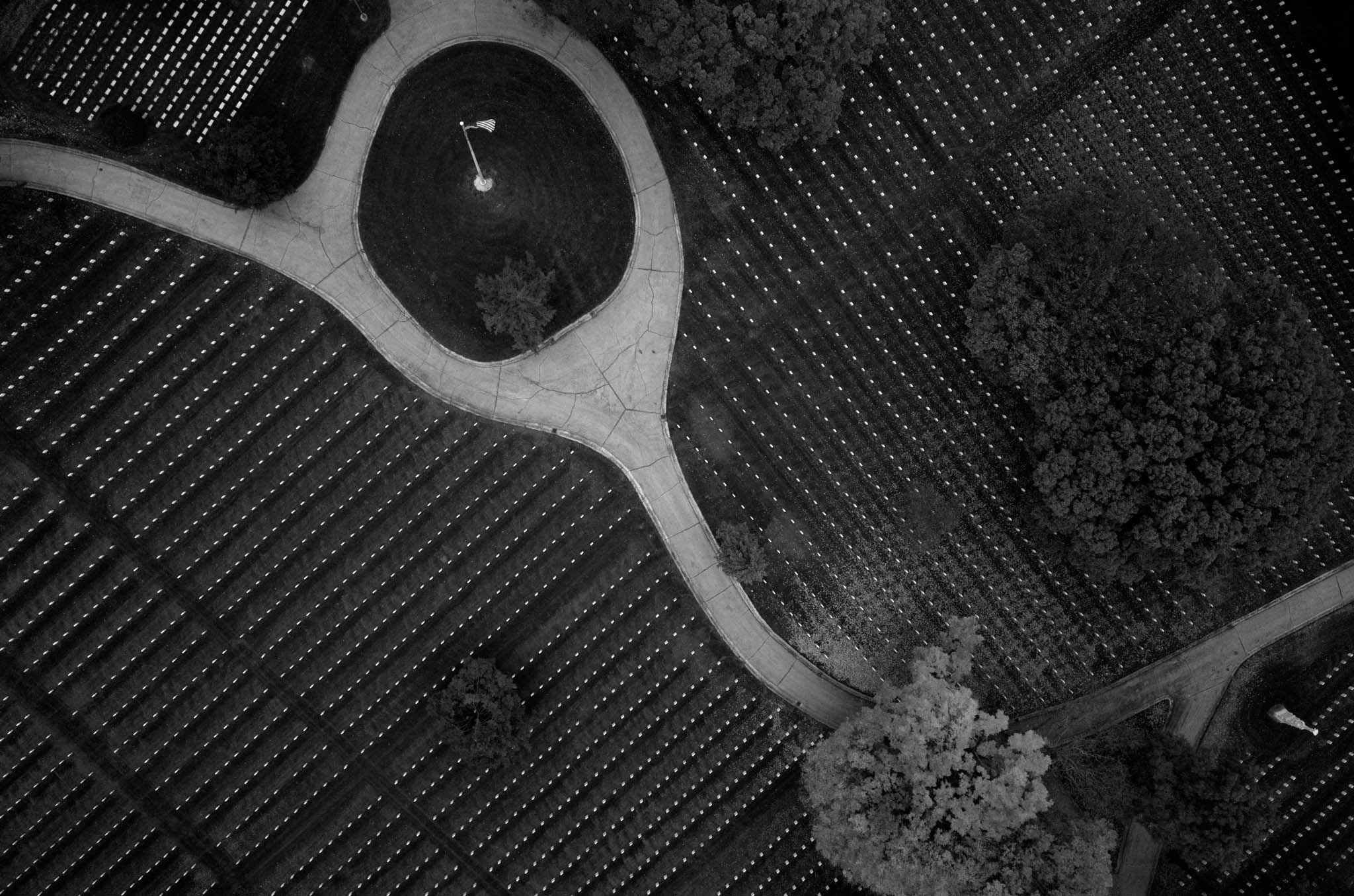
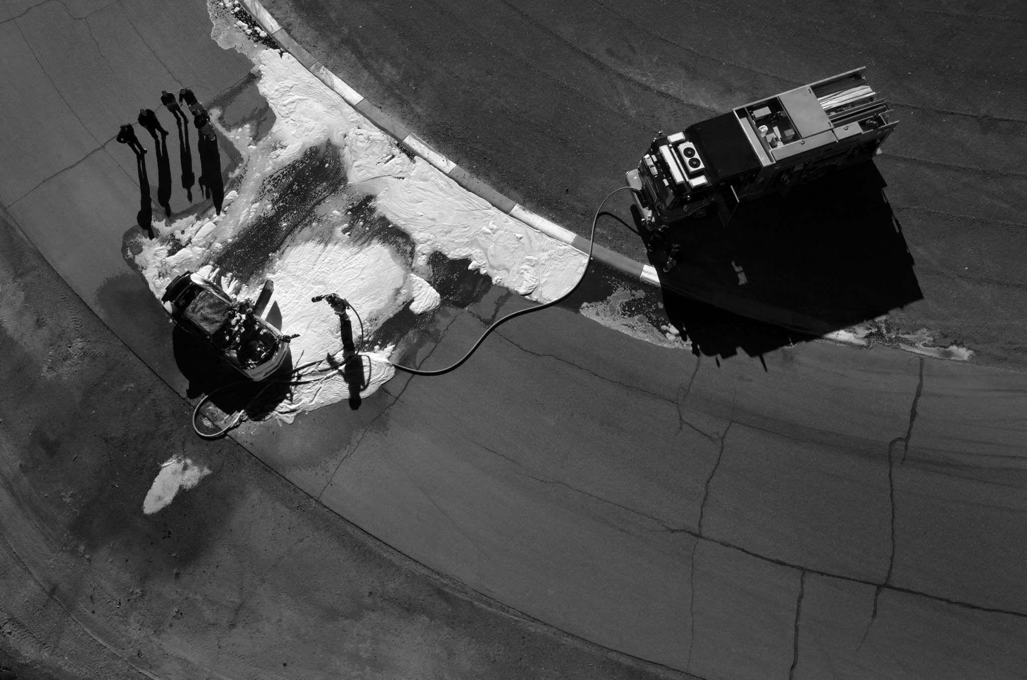
CCSS.ELA-LITERACY.CCRA.R.6: Assess how point of view or purpose shapes the content and style of a text.
Objective:You will be able to analyze how Tomas van Houtryve communicates reporting on the drone wars using photography and captions in order to create your own art inspired by reporting on an issue of your choice
Warm up:-
Look at the photo below, and answer the following questions. The questions come from the See, Think, Wonder thinking routine developed by Project Zero.
-
What do you see in the image? (shapes, objects, etc.)
-
What do you think about that?
-
What does it make you wonder?

Read the caption below to find out more about the image.
"House boats appear next to the shoreline of Bidwell Canyon on Lake Oroville in Northern California on November 25, 2014. Lake Oroville is California's second largest reservoir, and is currently 70% empty as a result of the state's severe drought. Image by Tomas van Houtryve. USA, 2014."
B. The image above was taken by photojournalist Tomas van Houtryve using a drone. Quick jot: What is a drone? What are drones used for?
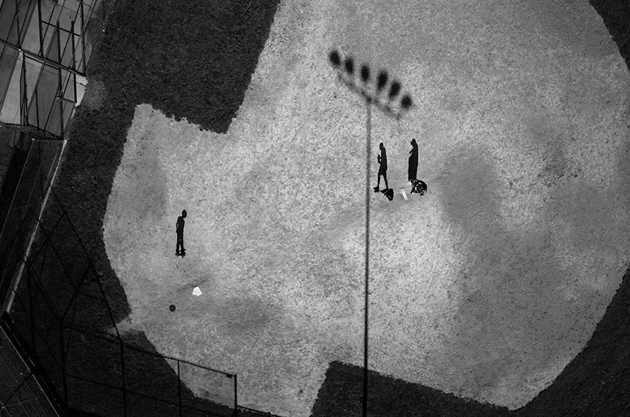
C. Use the thinking strategy above to analyze the following photo by Tomas van Houtryve.

What additional information is there to gain from the following caption for this image: “Baseball practice in Montgomery County, MD. Image by Tomas van Houtryve. USA, 2014.”
Now predict: Why do you think a journalist took this photo?
Introducing the lesson:-
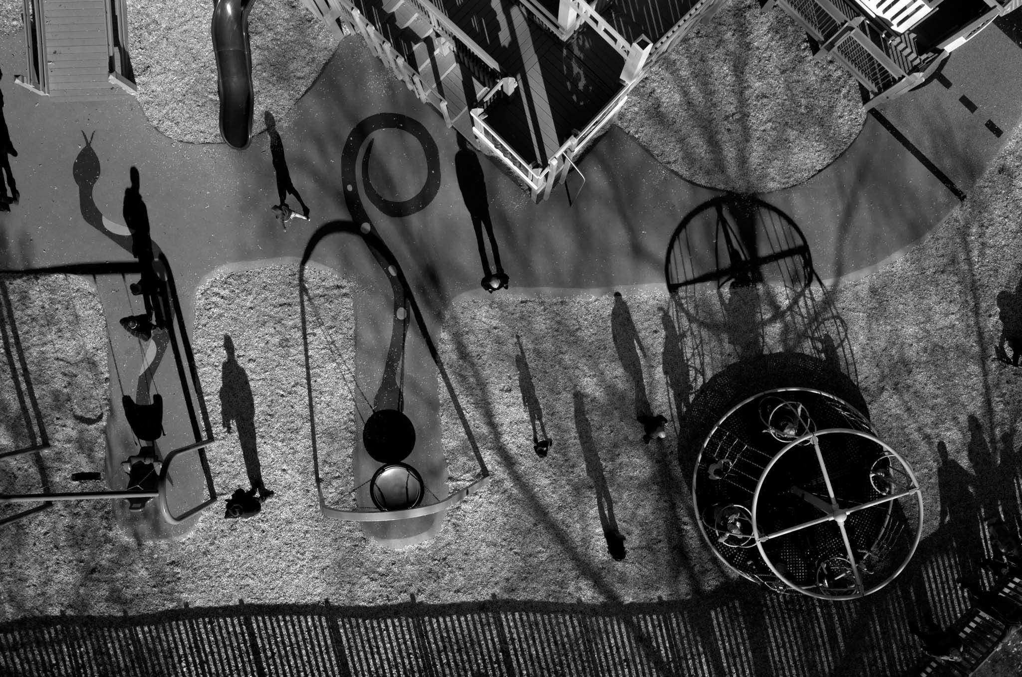
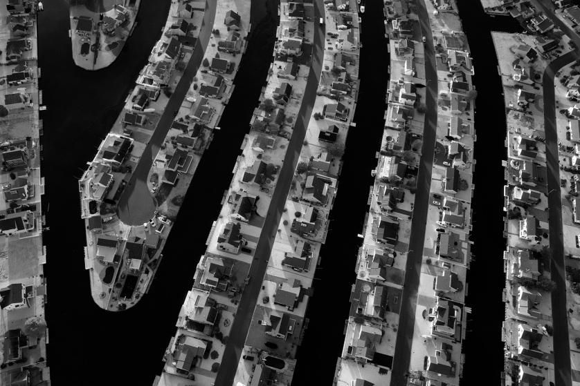
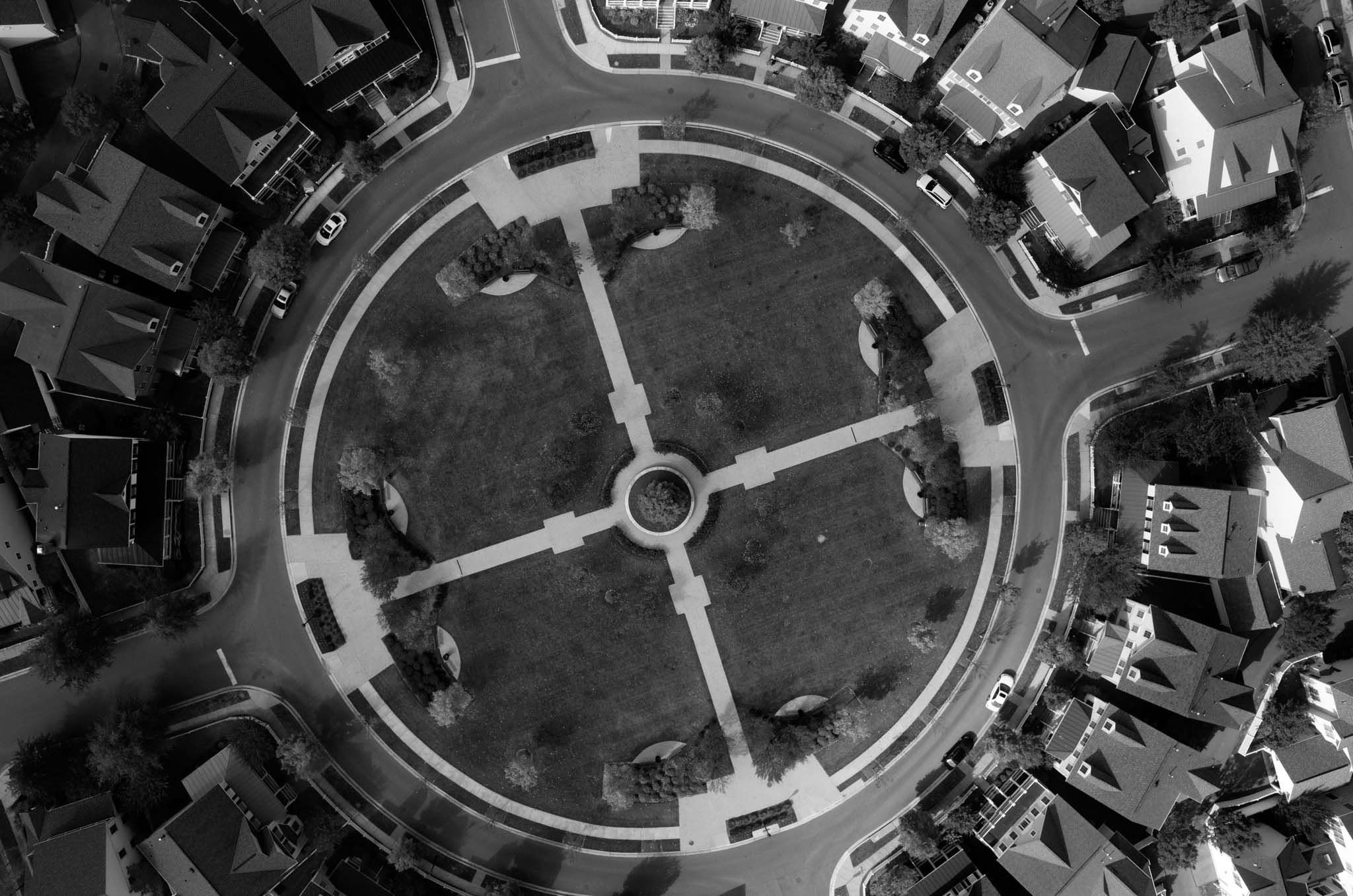
The images above were taken as part of the project Blue Sky Days. Click on the project description to read more about the project, and answer the accompanying questions. As you read, make a prediction about what you think is the author’s purpose for this project.
2. Watch the video “A Sky Full of Cameras” and answer the questions attached. As you read, use details from the film to identify why you think the author used these images to achieve his purpose.
3. Watch the “Meet the Journalist” video attached to check your predictions for the previous two questions. As you watch, take note of additional information you learn from the author about his inspiration for the story, and how he ultimately decided on the final photographs.
Discussion:Use details from the project Blue Sky Days to guide a discussion exploring the following questions:
-
What have been the human impacts of the drone war?
-
What are the arguments for and against the drone war?
-
What more do you want to know about the drone war? How might you go about reporting these questions?
-
What are other ways that the drone war could be visualized for people who want to know more about it?
-
Drone Drawings:
Explore the reporting process that Tomas used to create Blue Sky Days to design your own drawing that represents how drones have been used for surveillance. Start with your own research into drone strikes and military missions that have used drones. Try using Amnesty International and Human Rights Watch to guide your search. Identify a story that you think needs to be shared, and create your own visual (photo/drawing/collage/etc.) that reflects that story from the perspective of a drone.
2) Collages: Visualizing the drones debate
Conduct an investigation into the debate surrounding the use of drones for security and commercial uses. Use a variety of news sources to conduct your search, and keep track of images and quotes that reflect differing opinions. Using the images and quotations from your investigation, create a collage that demonstrates what you learned about the current debate about the use of drones.
This lesson plan is written to be explored independently by students, but offers opportunities for small group and full class discussions.
