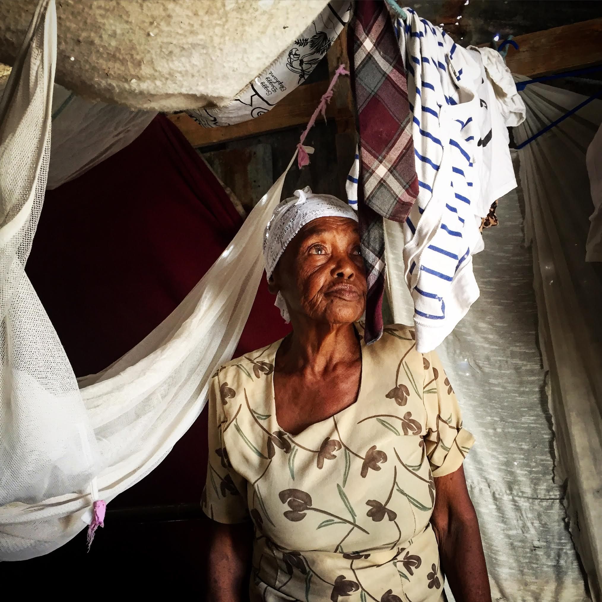
Our car was stuck in the mud on a remote Haitian side road when the 75-year-old midwife inside suddenly sprung to action. “Push!” Ti Mama yelled, as she picked her way to the back and leaned on the bumper. Every adult within earshot sprang into action and PUSHED, including Ti Mama. And suddenly, we were delivered. There are many things to remind you that you are in a place where metaphors abound when in Canaan—a place named for the land promised to the Israelites in the Bible. I had watched this scrubby hillside just outside of Haiti’s capital city develop over the past several years, after the president declared it public, essentially promising it to those who felt outcast by any number of things: the earthquake, the economy, the middle class.
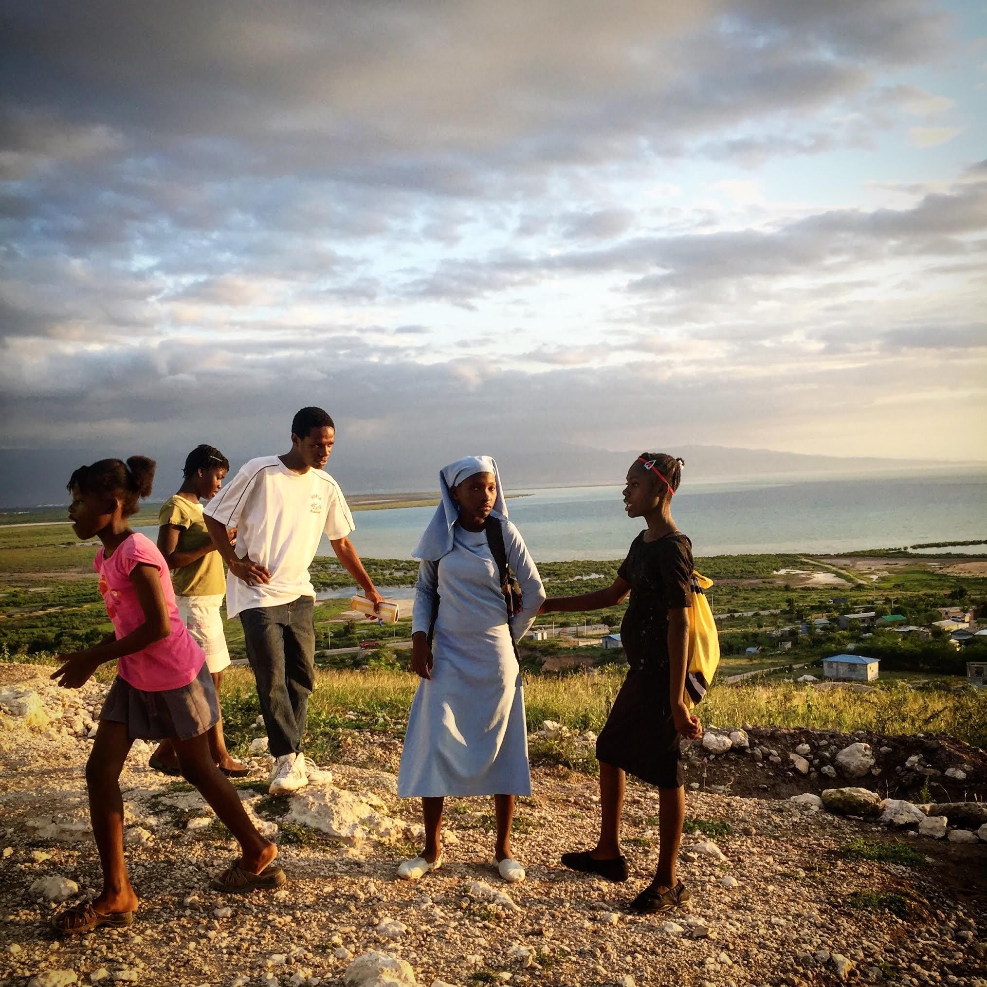
There are many things to remind you that you are in a place where metaphors abound when in Canaan—a place named for the land promised to the Israelites in the Bible. I had watched this scrubby hillside just outside of Haiti’s capital city develop over the past several years, after the president declared it public, essentially promising it to those who felt outcast by any number of things: the earthquake, the economy, the middle class.
Using all of his savings, Pastor Marc Loumette built the small church he always dreamed of out of plywood and corrugated tin here. During the week, the pulpit at the Church of the Nazarene is pushed back to accommodate wooden divider panels to make classrooms—the pews become seats for students. Loumette was inspired by the Biblical verse Exodus 14:14. "The Israelites were fleeing the Egyptian army but God told them to stay put and trust in him, and He saved them," says Loumette. "It is the same in Canaan. In the beginning there was no hope for the people. But we held fast to our faith in God and now look what we’ve made."
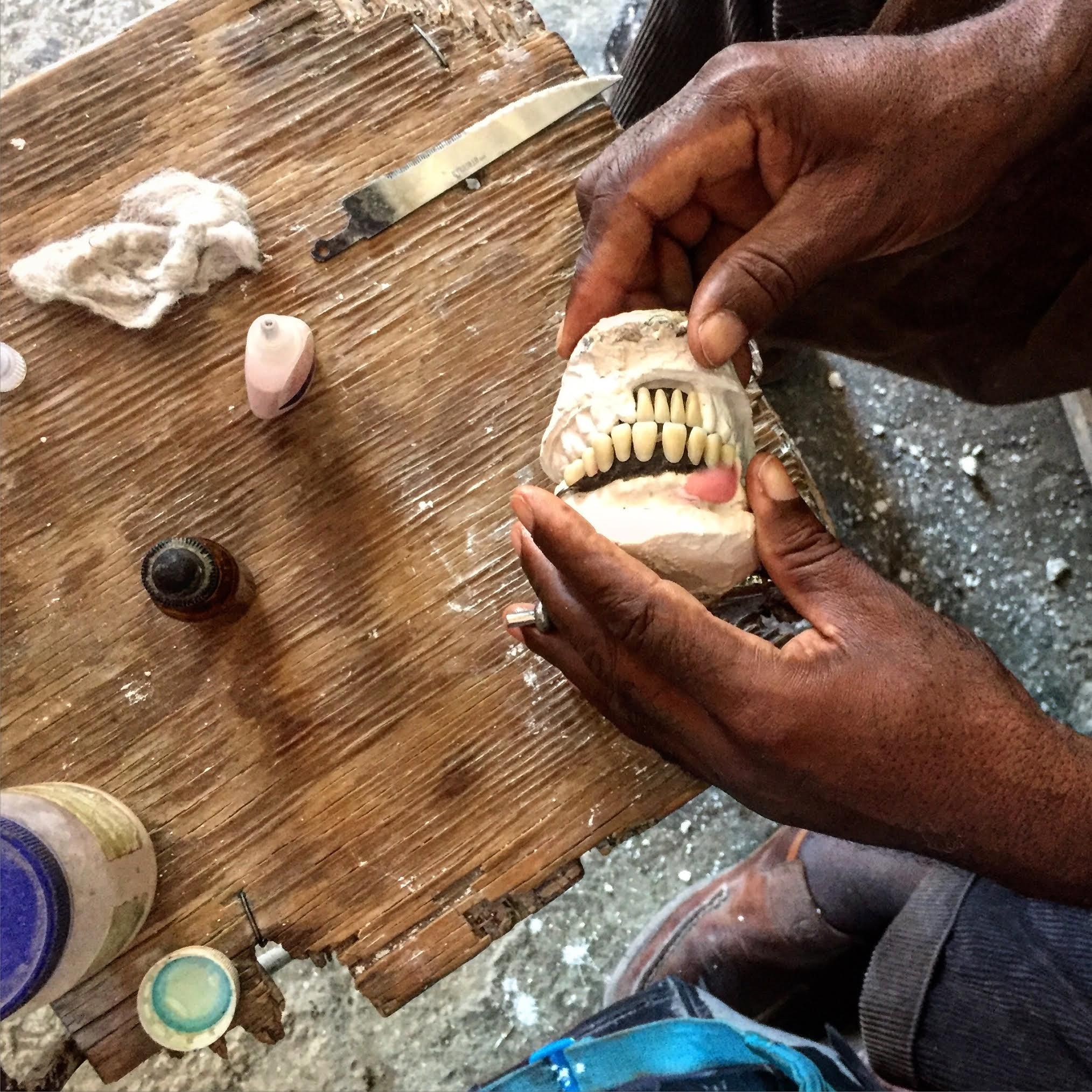
Sylphat Wilguive, 48, makes dentures in his home in a section of Canaan called Jerusalem—beginning with plaster and then inserting specially crafted resin teeth, painstakingly layering on a pink rubbery substance with a dropper to make lifelike gums. He once ran a prosperous dental practice in the city called The Good Samaritan. With they money he’d set aside, he had begun building his own clinic in Jerusalem several years ago when his left leg was suddenly was paralyzed, rendering him unable to walk. The treatments wiped out his savings but changed his perspective. Though still handicapped, he now does the specialized work out of a room in his house, treating needy neighbors for free. A good Samaritan.
There are over 200,000 people now living in the Canaan settlement on the far outskirts of Port-au-Prince, Haiti. They’ve built the majority of their infrastructure themselves—from power poles to public squares. When I began this project with Jacob, there were few indications that the government remembered that it existed or thought it a worthwhile place to focus on. It was my goal to help put these individuals on the map—literally. For that we turned to data visualization guru Mark Fahey.
As Mark Fahey reports, "Even before a magnitude 7.0 earthquake struck Haiti in early 2010, maps marking the locations of roads and buildings in the country were incomplete. In the devastation that followed, existing infrastructure and landmarks were destroyed while residents built up new settlements in previously unoccupied areas.
"Most digital maps originate from government records, but our interactive map uses OpenStreetMap, a “Wikipedia for maps” that allows users to contribute geospatial information. In the first days of the crisis in Haiti, a number of private and public groups made map data and high-resolution satellite imagery available to hundreds of volunteers, who used the images to map the developing situation on the ground. The effort helped emergency crews locate damaged buildings and temporary refugee camps.
"In the years following the earthquake, local teams improved on those original maps. When Jacob and Allison arrived to report on the lives Haitians have built in Canaan, the area had been extensively annotated with road names, churches, markets and other landmarks. We explored a number of options for recording the latitude and longitude of each photo in an area without reliable internet access, but in the end the iPhone’s native GPS was remarkably good at including accurate location data with each photo.
"To display the photos and the map together, I adapted open source JavaScript code created in 2013 by the Northwestern University Knight Lab. The Knight Lab’s StoryMap project made it easier to display a number of photos on the map in a linear narrative format with custom zoom levels, and it generally worked well for both desktop and mobile display. With a few cosmetic and functional changes, I adapted the slide design to the Virginia Quarterly Review website and placed the GPS data over the OpenStreetMap base map. The final product helps readers understand the extent of the community that has grown up in Canaan."


