Story

Marcio Pimenta Captures Aerial Photos of Burning Amazon in Brazil (Portuguese)

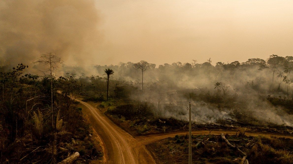
On BR-364 that connects Rio Branco to Seine Madureira, in Acre, it is not difficult to find fires that eventually spread to the forest. Image by Marcio Pimenta. Brazil, 2019.

On BR-364 that connects Rio Branco to Seine Madureira, in Acre, it is not difficult to find fires that eventually spread to the forest. Image by Marcio Pimenta. Brazil, 2019. 

Felled tree trunks await removal in a forested area in Acre. After cutting and harvesting the timber for commercial use, the forest is set on fire to prepare the land for cattle raising. Image by Marcio Pimenta. Brazil, 2019. 

Felled tree trunks await removal in a forested area in Acre. After cutting and harvesting the timber for commercial use, the forest is set on fire to prepare the land for cattle raising. Image by Marcio Pimenta. Brazil, 2019. 

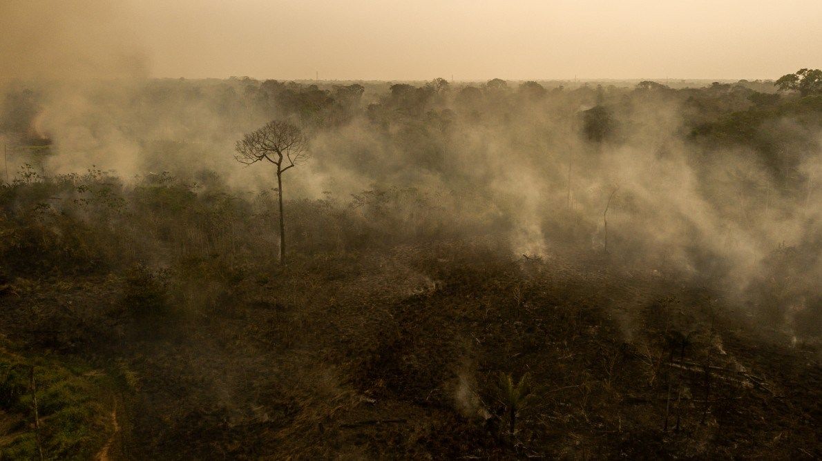
Fogo hits stretch of Amazon rainforest in Acre. The dry and hot season runs from mid-July to early October. Image by Marcio Pimenta. Brazil, 2019.

Fogo hits stretch of Amazon rainforest in Acre. The dry and hot season runs from mid-July to early October. Image by Marcio Pimenta. Brazil, 2019. 

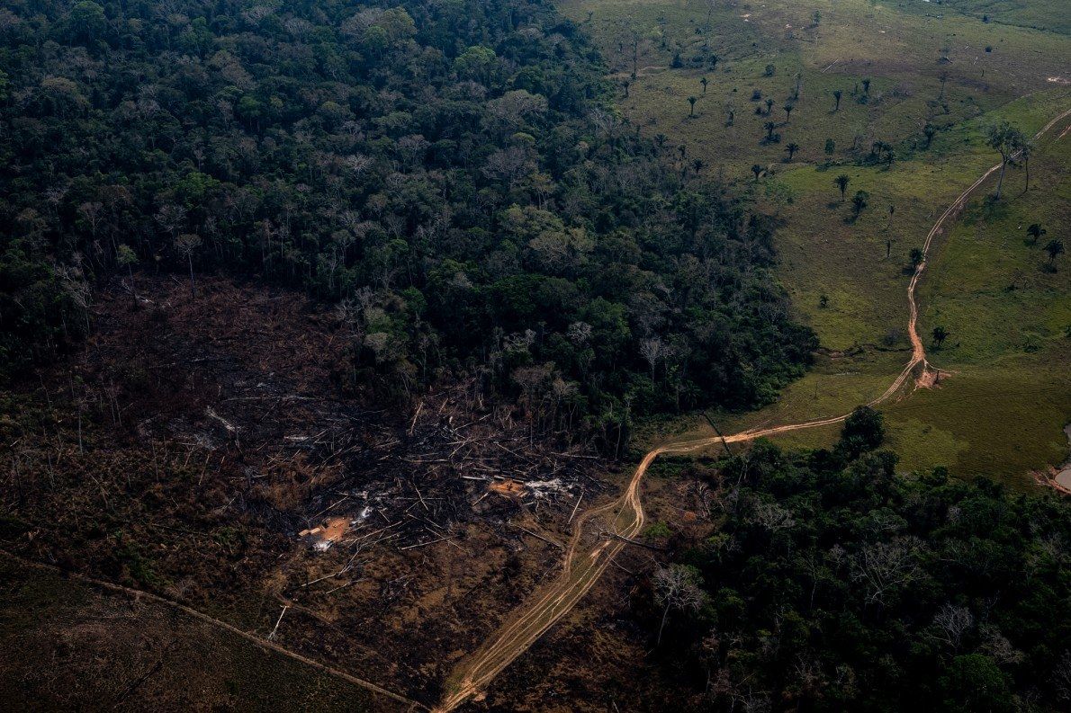
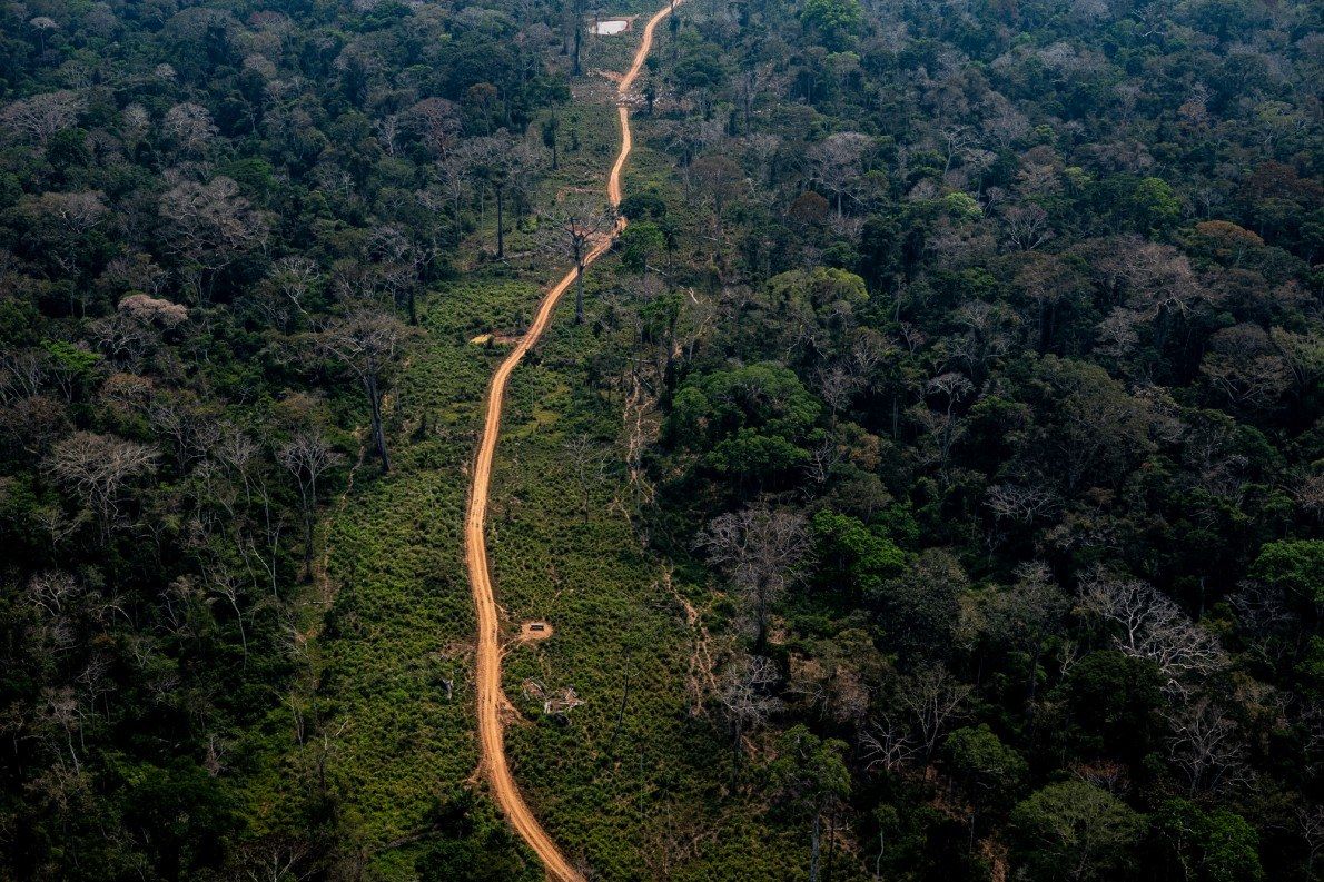
Open roads in the Amazon, like this one in Acre, are the first step towards deforestation. In places like this, loggers and farmers pass where it was difficult to reach before. Image by Marcio Pimenta. Brazil, 2019. 

Open roads in the Amazon, like this one in Acre, are the first step towards deforestation. In places like this, loggers and farmers pass where it was difficult to reach before. Image by Marcio Pimenta. Brazil, 2019. 

Fire at Antimary State Forest Project in Acre. Even the recent rains have not been enough to put out the fires in the region. Image by Marcio Pimenta. Brazil, 2019. 

Fire at Antimary State Forest Project in Acre. Even the recent rains have not been enough to put out the fires in the region. Image by Marcio Pimenta. Brazil, 2019. 

The fire also consumed part of the Antimary State Forest Project area in Acre, the first state public forest in Brazil. Image by Marcio Pimenta. Brazil, 2019.

The fire also consumed part of the Antimary State Forest Project area in Acre, the first state public forest in Brazil. Image by Marcio Pimenta. Brazil, 2019. 

Amazon rainforest area in Acre. Deforestation points are easily identifiable by satellite imagery along the roads. Image by Marcio Pimenta. Brazil, 2019. 

Amazon rainforest area in Acre. Deforestation points are easily identifiable by satellite imagery along the roads. Image by Marcio Pimenta. Brazil, 2019. 

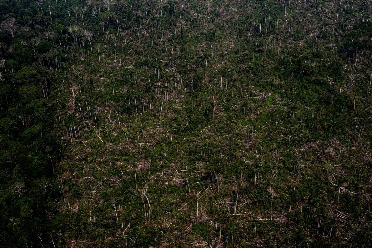
Region of deforested forest in the Acrean Amazon. Image by Marcio Pimenta. Brazil, 2019. 

Region of deforested forest in the Acrean Amazon. Image by Marcio Pimenta. Brazil, 2019. 

Marcio Pimenta is a photojournalist who has been covering fires in the heart of the Amazon as part of his project, "Amazon on Fire." Read the full article in Portuguese on the National Geographic Brazil website

Support for this reporting was made possible by the Rainforest Journalism Fund, in association with the Pulitzer Center.